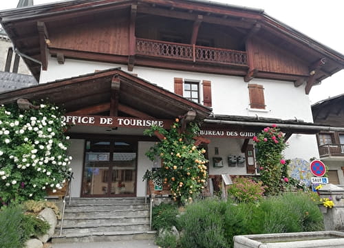
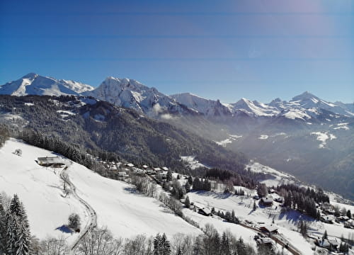
Start at the Tourist Office in La Giettaz, (also possible to start at the Tourist Office in Flumet and then return to Flumet).
Descend along the track that runs beside the Arrondine river then continue on the departmental road as far as the entrance to Flumet village. At the village entrance, go left on the the panoramic road via Le Fréney, Le Biollay, La Touvière as far as Le Sciozier.
300m after Le Sciozier, go right on the route that leads to La Bonne Fontaine. Continue as far as the Refuge du Plan de l'Aar before next reaching La Bonjournal. Take the Enduro itinerary to descend back down to Le Plan. From Le Plan take the forest track which runs to the Roc du Charbonnier before you reach the village.
- Sport
La Tête du Torraz Tour FFC n°50
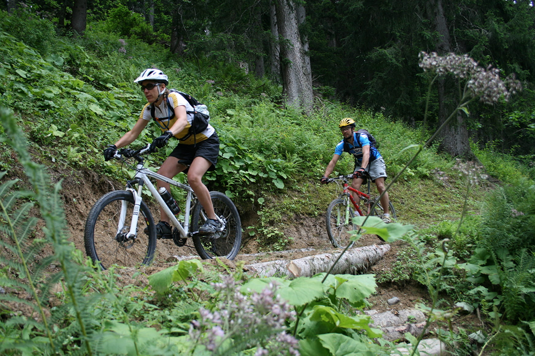
Circular route for experienced cyclists alternating major climbs and enduro descents.
Sport La Tête du Torraz Tour FFC n°50 La Giettaz
About

Prices
Free of charge. Map of trails in sale at the Tourist Office at 2,50 €.
Methods of payment accepted : Cash
Period of practice
From 01/06 to 01/10.