The lovely track will lead you throughouth the moutain and the pastures. This old track, that goes from Sallanches to Ugine, used to be named "the road of thirst", you'll notice that there's no shadow !
You can start from La Giettaz village, cycling on the Route des Grandes Alpes road. This add a 370 meters climb (6 km long).
- Sport
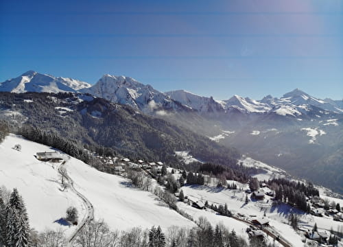
La Route des Montagnes FFC n°65
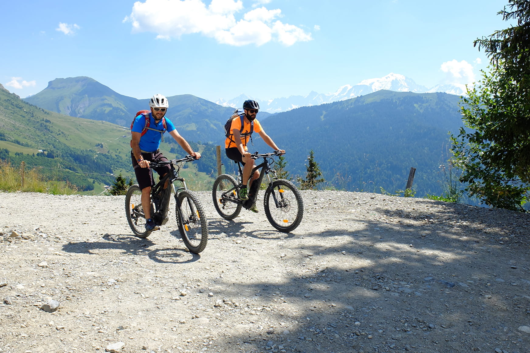
Enjoy the sweeping biew over the Mont Blanc and the Aravis mountain range
Sport La Route des Montagnes FFC n°65 La Giettaz
About

Signs
E-MTB trail signs
Topoguides references
Guide book "Itinéraires VTT faciles Val d'Arly"
Further informations
Ground
1 2


Prices
Free of charge. Map of trails in sale at the Tourist Office at 2,50 €.
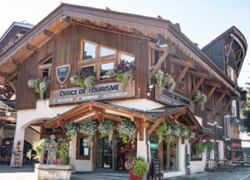
Reception
Period of practice
From 01/05 to 31/10.
Subject to snow conditions.
Services
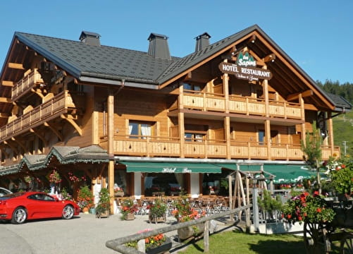
- Restaurant
- Bar
- Parking