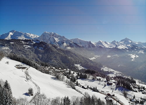
The track ventures as far as the unspoilt coombs overlooking the Chalets de Petétruy.
Return by the same route.
You can also start in the village of La Giettaz en Aravis, taking the Route des Grandes Alpes, which will add an extra 3.7km and 230m of uphill climb.
- Sport
La Route des Chalets FFC n°66
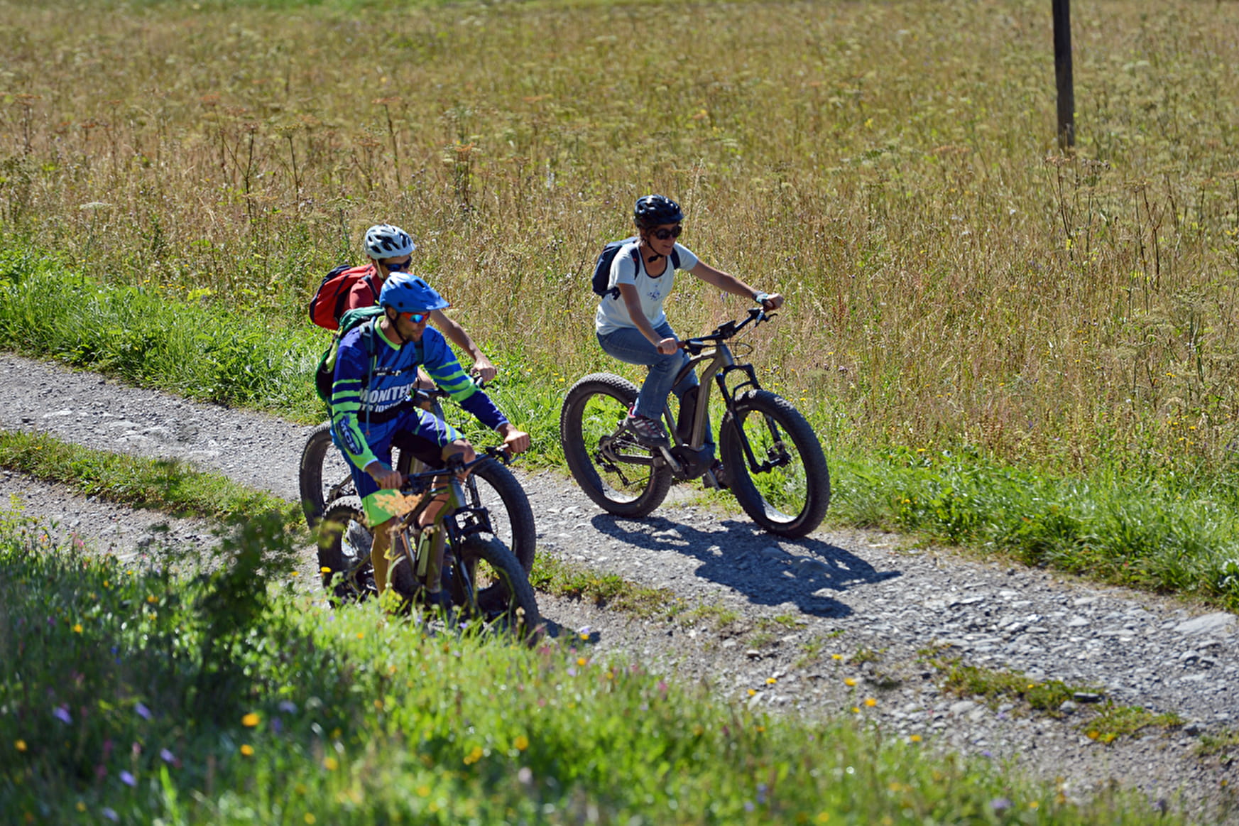
Perfect itinerary for enjoying a day on the Piste des Chalets!
Sport La Route des Chalets FFC n°66 La Giettaz
About

Signs
E-MTB trail signs
Topoguides references
Guide book "Itinéraires VTT faciles Val d'Arly"
1 5


Prices
Free of charge. Map of trails in sale at the Tourist Office at 2,50 €.
Reception
Period of practice
From 01/06 to 30/09.
Services
- Coach access
- Motorhomes allowed
- Restaurant
- Parking
Contacts
Access
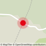
Start at the Col des Aravis