
Admire the expanse of the Vanoise glaciers, the Chavière valley, the Péclet-Polset massif and the slopes of the opposite bank, remarkable for their variety of rocks. From the limestones of Grand Marchet and Roc de la Valette to the gypsum of Petit Mont Blanc and Mont Charvet, the quartzites of Napremont and the metamorphic rocks of Péclet-Polset... This itinerary, at the gateway to the Vanoise National Park, offers an exceptional panorama of the massifs, like an open book of geology!
We advise you to set off early in the morning, as the trail has very little shade.
- Sport
Col de Leschaux Pass
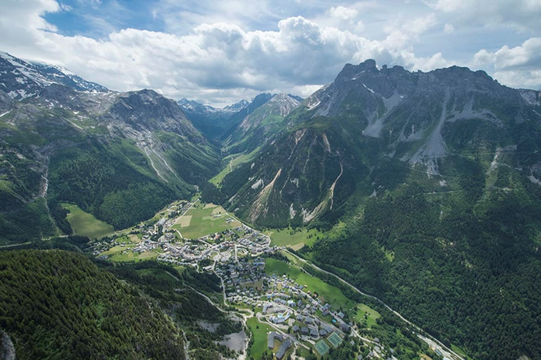
Limestone, gypsum, quartzite metamorphic rock, this hike offers amazing panoramic views of the mountains surrounding Pralognan, and feels like a life-sized textbook about the area’s fascinating geology.
Sport Col de Leschaux Pass Pralognan-la-Vanoise
About

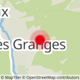
Map references
Pralognan-la-Vanoise trail map.
Further informations
Rock, Stone, Ground, Grit
1. From the Les Clous parking lot, take the path up towards Fenêtre n°7 (path n°3).
2. From here, take the path (trail no. 2) towards Col de Leschaux.
3. At the next intersection, leave the Mont Chevrier path on your left and continue along the Leschaux ravine, which winds its way up to the pass.
Optional: from the intersection, you can reach the Mont Chevrier forest plateau. Round trip in 1h30.
4. On the return journey, take the same route. From the Col de Leschaux, you can reach the Grand Bec refuge and the village of Planay.
LOOP VARIANT : SENTIER DES ÉCHINES (very difficult) +2h30, +2.5 km
(in addition to the main itinerary)
The Échines trail is an aerial passageway, dominating a steep slope overlooking the Pralognan-la-Vanoise valley. It offers grandiose panoramic views, but is reserved for very good walkers. The path must be clear of snow before you set off. A short section is equipped with a chain to facilitate the descent to the Creux Noir cirque, from where you can reach the Mont Bochor plateau.
Follow the previous itinerary to stage 3.
1. At the pass, continue along the Les Echines balcony path, which hugs the side of the Aiguille du
Bochor towards the Creux Noir cirque (path no. 9).
2. Follow the path across the Mont Bochor plateau (path no. 8).
3. At the intersection, follow the path down towards Les Fontanettes (path no. 7).
4. At Les Fontanettes, cross the hamlet and continue on the path towards Les Bieux (path no. 17), then return to the village center.
You can shorten the descent by taking the Mont Bochor cable car (subject to opening conditions).
Prices
Free access.
Reception
Period of practice
From 01/07 to 15/10.
Subject to favorable snow and weather conditions.
Services
- Pets welcome
Contacts
Access
Nearby car park: parking des clous