Other electrically assisted MTB routes and cross-country routes await you : The Andran Tour, the Beauregard Plateau, around the Sulens, a boarder cross MTB area at the Merdassier mountain pass... A MTB route map is sold at the Manigod i-site.
MTB route map available : 3€.
Throughout the year.
- Sport
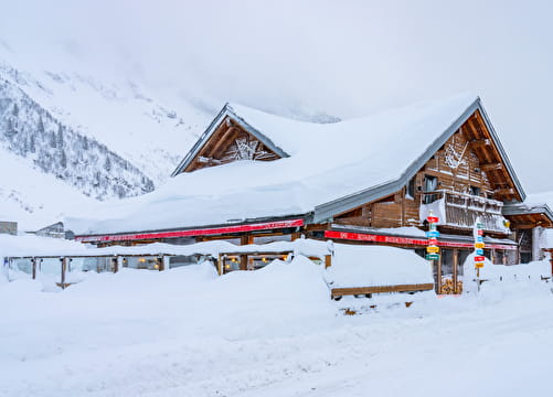
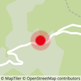
MTB Route - Around "Andran"
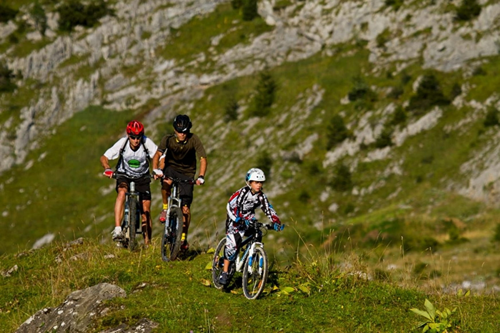
Route allowing you to ride around the "Tête de Cabeau" until the Merdassier mountain pass and then to come back to the Croix Fry mountain pass. Traced route of blue level for intermediate bikers.
About

Topoguides references
MTB route number 19 in the MTB guidebook "Tournette Bornes Aravis". Guidebook available at the Manigod i-site for 3€.
Reception
Period of practice
All year round.