From the Tourist Office, take the road towards Col des Aravis. At the junction with the road leading to Plan, continue on the Col des Aravis road for 300 m and take the road on the right towards "La Gardette" and "Les Gorandières". At a place called "Les Gorandières", take the path which leads to the "Fardellets" and join the road which leads to the Plan. Arrived at the Plan, take the forest track which leads to the "Roc de Charbonnier", then continue to reach the village of Giettaz.
- Sport
All Around "L'Arrondine" FFC n°47
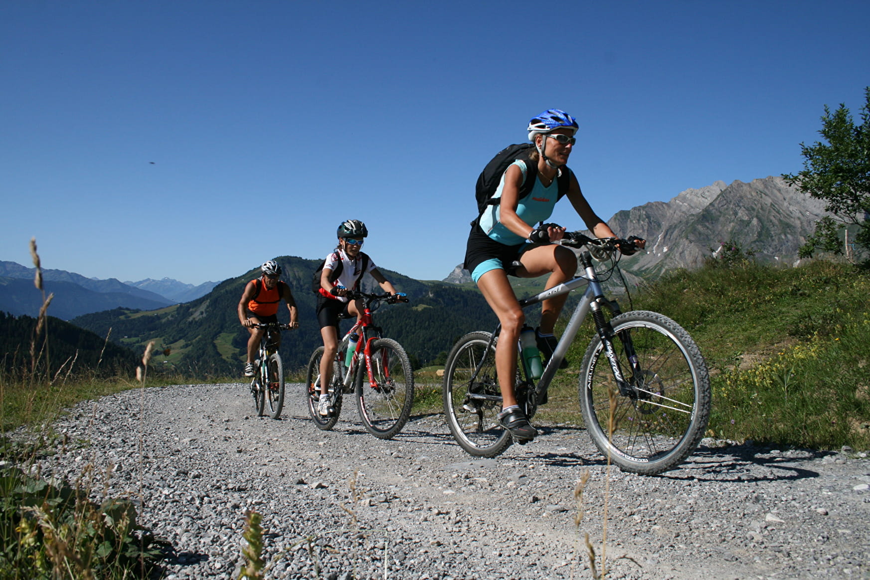
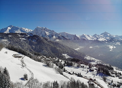
Stroll to discover the heights of "La Giettaz" and the small hamlet of "Le Plan".
Sport All Around "L'Arrondine" FFC n°47 La Giettaz
About

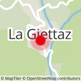
Map references
Espace Diamant VTT card on sale in the tourists Offices at 2.50 €.
Further informations
Stone, Ground
Prices
Free of charge. Espace Diamant VTT card on sale in the Tourist Offices for € 2.50.
Methods of payment accepted : Bank/credit card, Check, Cash
Period of practice
From 01/07 to 31/10.