
After a gradual ascent, venture through the Pierres Longues pastures, to the sound of whistling marmots. They live here in the sunny season. In spring and autumn, herds graze peacefully. In the height of summer, it's not uncommon to spot farmers haymaking. A quick detour to your left and a short break in the sheltered rock caves of Les Mandes make you picture the Belle and Sebastian film set. Cool off at the Ravine stream. In the Pramaria Forest, you might just receive a visit from a few deer. Hidden from view, they share their home with the mountain hare. Waterfalls and streams create the backdrop of choice for your journey to the Adroit meadows. Don't forget to take a break at St-Jean Baptiste chapel for a taste of culture before heading back to Val Cenis - Lanslebourg, along the peaceful Chemin du Petit Bonheur. Don't you feel like you've now gone through all the myriad moods of a mountain village?
- Sport
Circuit des Mandes Trail
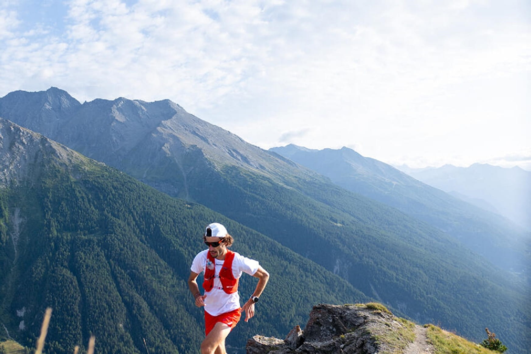
Travelling from stream to stream, explore a south-facing slope where alpine meadows merge with forests. Accessible almost all year round, this route is full of variety. In winter, the frozen streams attract your attention.
About
To guide you in the field, consult the "step-by-step" directional diagram provided in pdf.
Prices
Free access.
Reception
1/ How is trail running time calculated?
Trail times are calculated on the basis of reference paces for a regular runner who practices running on average 1 or 2 times a week.
600m/h ascent in altitude
900m/h ascent on descent
9km/h on the flat
2/ Using GPX tracks
As hazards may occur at any time on the routes, the GPX tracks provided are not contractual. They are given for information only. Riders use them at their own risk, depending on their level of technological proficiency and their understanding of the terrain.
Pets allowed on leash only.
Period of practice
From 15/05 to 15/10.
Subject to favorable snow and weather conditions.
- Pets welcome
- Public WC
- Parking nearby
- Charging stations for electric vehicles
Contacts
Access
By bus: line S52 or S53 - Lanslebourg Tourist Office stop.
By car: park in the parking lot in front of the Gendarmerie.