
As you leave Méribel-Village (2km from Méribel centre), walk past the Chapelle Saint Sébastien, part of the Méribel valley's themed "chapel trail".
At the top of the lane, you'll quickly gain height, and once you reach the reservoirs, you'll be able to see Méribel village at your feet, with the summits gradually coming into view.
Higher up is the magnificent Plaigny plateau, from which you can see the summit of the Dent de Burgin behind the spruce trees.
Climb further through the forest to reach "le Blanchot", from where you can choose to take the shuttle bus again or continue on to the last stop at the Altiport.
- Sport
WINTER PATH "Méribel Village/ Le Blanchot/ L'Altiport"
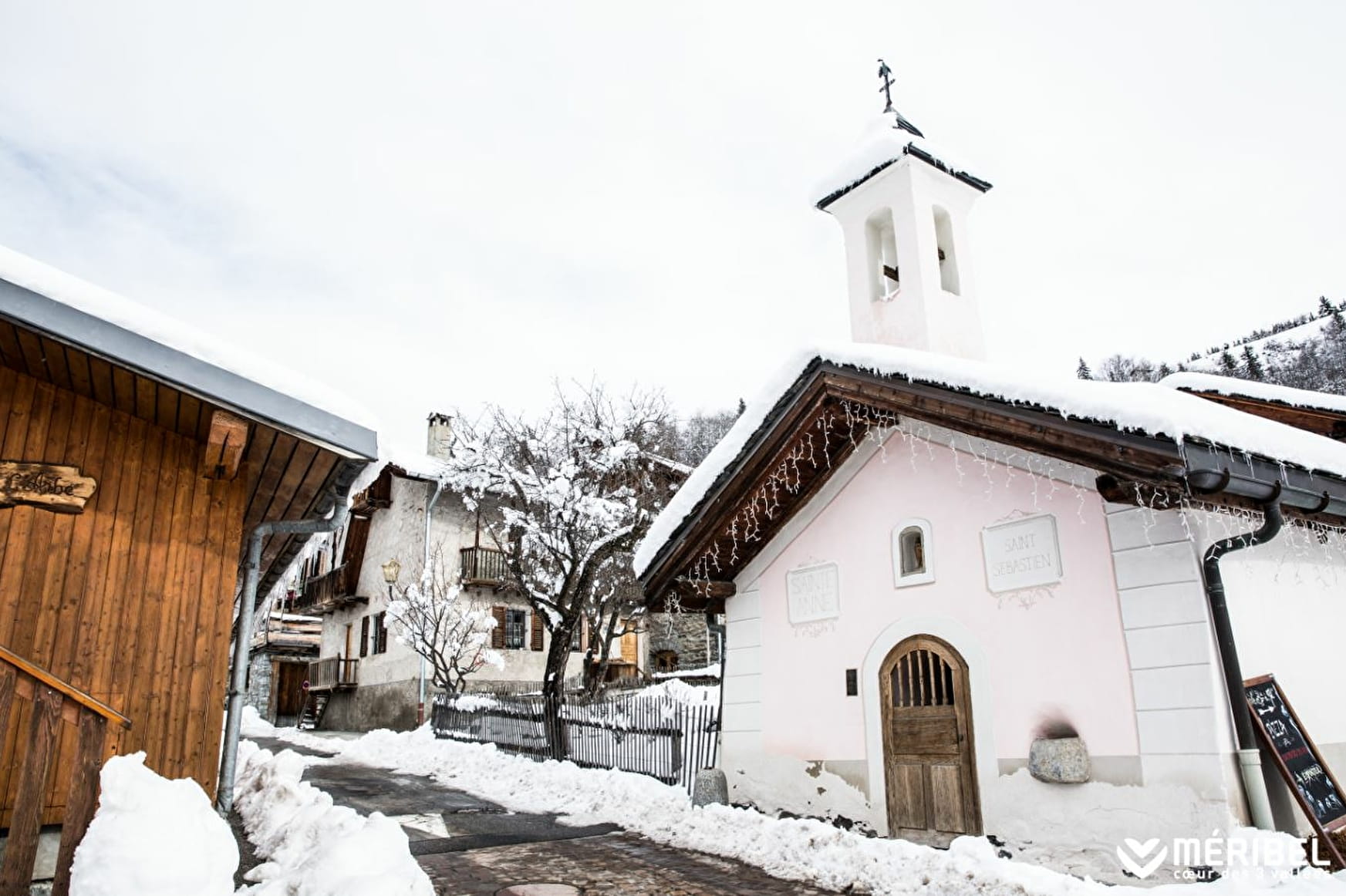
Start from Méribel Village bus stop. Walk past the pretty St Sébastien Chapel , carry on to the top of the little street.
Follow signs to le Blanchot and Altiport. Return to Méribel Village by bus or the Golf chairlift.
Sport WINTER PATH "Méribel Village/ Le Blanchot/ L'Altiport" Méribel
About

Signs
Marked trail with yellow signs and snowman State of maintenance and the opening/closing of footpaths and snowshoes is updated daily on www.meribel.net
Difficult passages
Trails could be slippery, depending on condition. Ask at the tourist office or take crampons and poles.
Map references
Méribel winter footpath map
Further informations
Groomed trail
1 6


Prices
Free access.
Reception
Toilets, changing table and picnic room at the Blanchot cross-country ski center
Marked trail with yellow signs and snowman
State of maintenance and the opening/closing of footpaths and snowshoes is updated daily on www.meribel.net
Period of practice
From 02/12 to 21/04.
Services
- Pets welcome
- Covered picnic area
- Car park
- Free car park
- Public WC
Contacts
Access
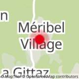
Bus stop Méribel-Village
In order to help you : take the "Méribel resort map" starting points are indicated more precisely by orange arrows as well as the winter footpath map


