- Sport
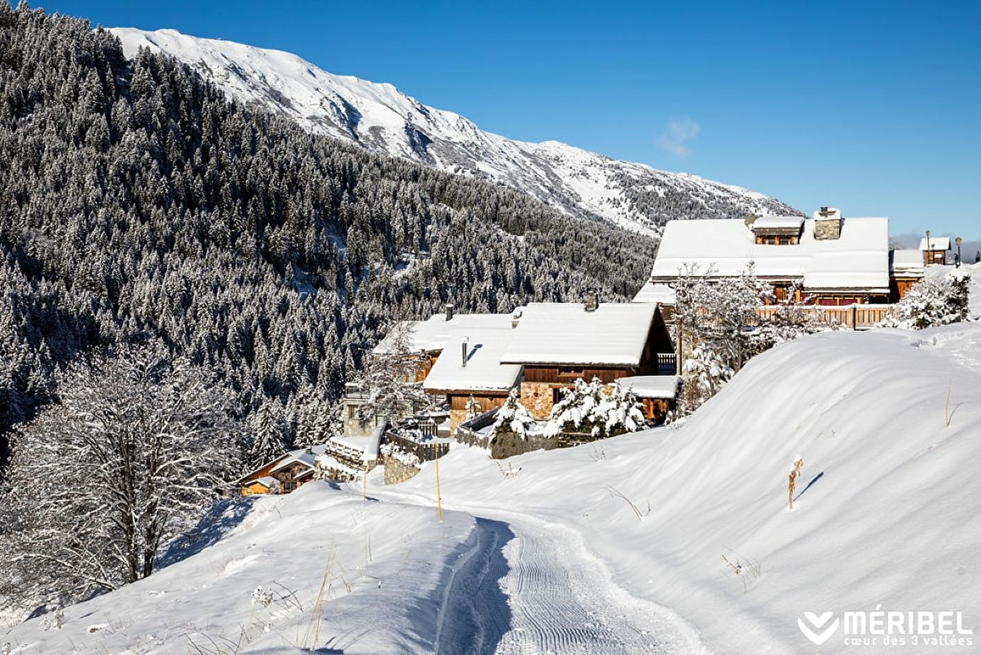
WINTER PATH "Méribel/ Méribel-Mottaret"
From Méribel Tourist Office, allow 1¼ hrs to reach Mottaret.
Go to the Tougnète gondola at la Chaudanne, walk up the Truite piste for 450m then cross the bridge and follow the Petite Rosière path. Allow 50 mins to descend from Méribel-Mottaret (from the main roundabout).

About

Signs
Marked trail with yellow signs and snowman State of maintenance and the opening/closing of footpaths and snowshoes is updated daily on www.meribel.net
Difficult passages
Trails could be slippery, depending on condition. Ask at the tourist office or take crampons and poles.
Map references
Méribel winter footpath map
Further informations
Groomed trail


Prices
Free of charge.
Reception
Toilets and changing table at the Maison du Tourisme in Méribel-centre (check opening hours)
Marked trail with yellow signs and snowman
State of maintenance and the opening/closing of footpaths and snowshoes is updated daily on www.meribel.net
Toilets and changing table at the Maison du Tourisme in Méribel-Mottaret (check opening hours)
Period of practice
From 02/12 to 21/04.
- Pets welcome
- Car park
Contacts
Access
Start from Les Allues bus stop or the Cruet bus stop (Line "Les Allues")
In order to help you : take the "Méribel resort map" starting points are indicated more precisely by orange arrows as well as the winter footpath map