- Sport
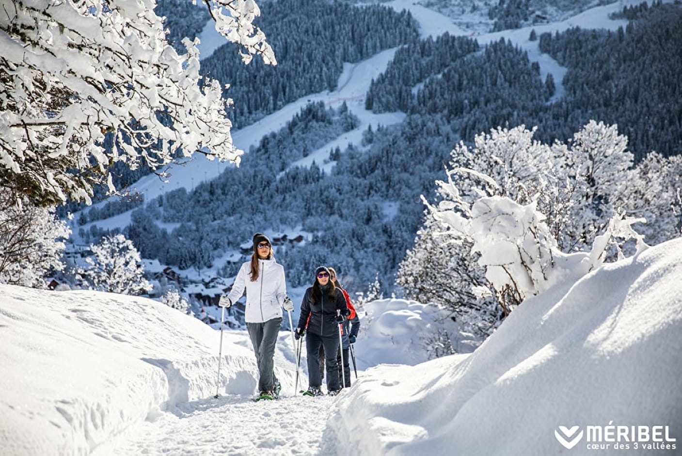
WINTER PATH "Meribel Center / Morel / Altiport"
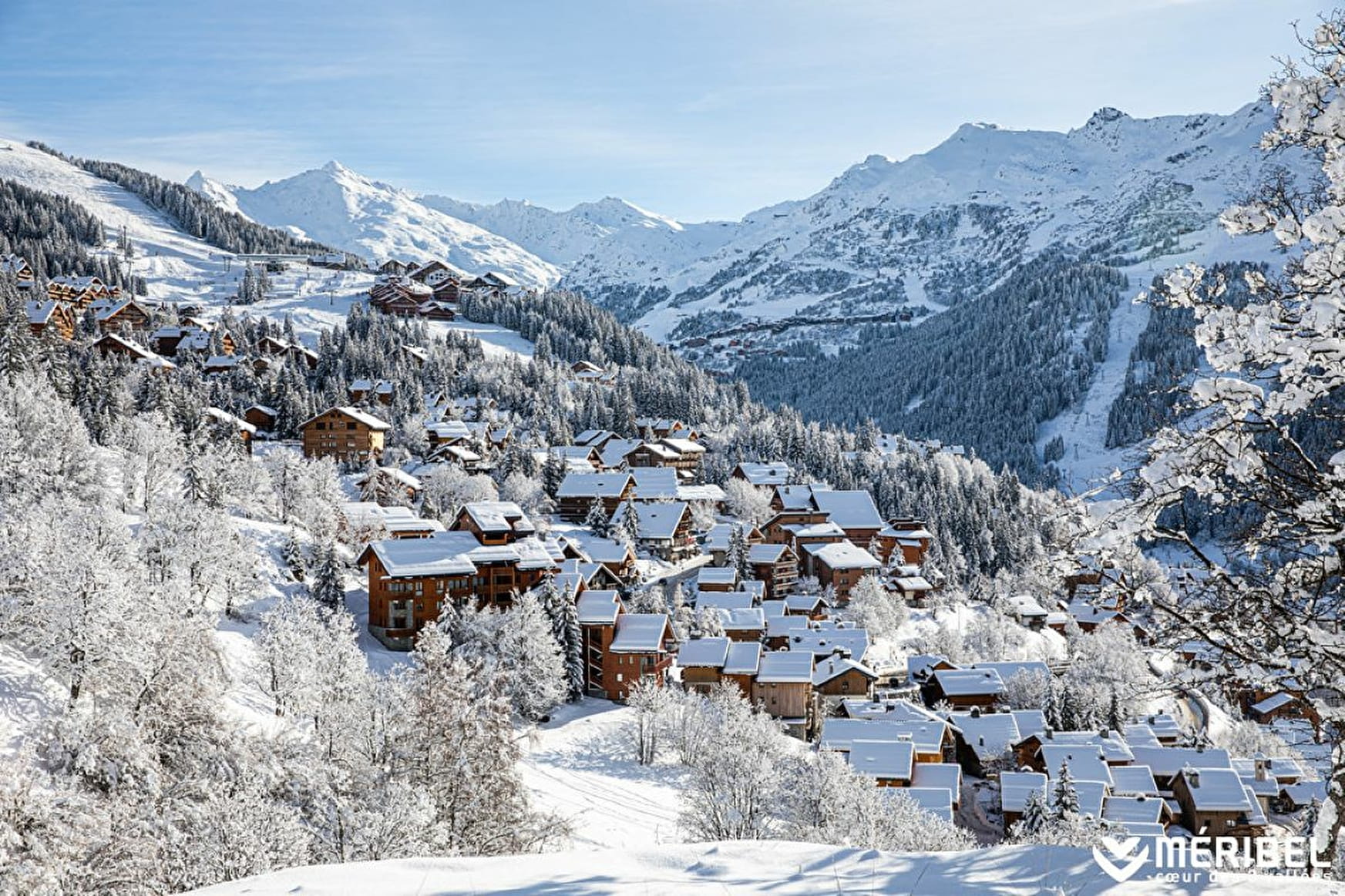
From Méribel Tourist Office, walk to the Altiport via the hamlet of Morel. Pretty path through forests and clearings. Beautiful view over the Méribel Valley. Return to Méribel centre by free bus or the chemin du Rond-point (see walk n° 15) then take Route des Chalets and route de la Renarde (allow 2½ to 3 hrs for the full circuit). Walking poles and grippers are recommended, especially if walking down the path.

About

Further informations
Groomed trail


Prices
Free of charge.
Reception
Toilets and changing table at the Maison du Tourisme in Méribel-centre (check opening hours)
Marked trail with yellow signs and snowman
State of maintenance and the opening/closing of footpaths and snowshoes is updated daily on www.meribel.net
Toilets, changing table and picnic room at the Blanchot cross-country ski center
Period of practice
From 02/12 to 21/04.
- Pets welcome
- Pets supplement
Contacts
Access
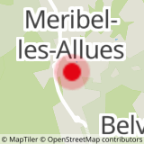
Start from Les Allues bus stop or the Cruet bus stop (Line "Les Allues")
In order to help you : take the "Méribel resort map" starting points are indicated more precisely by orange arrows as well as the winter footpath map