- Sport
WINTER PATH "Fontany forest"
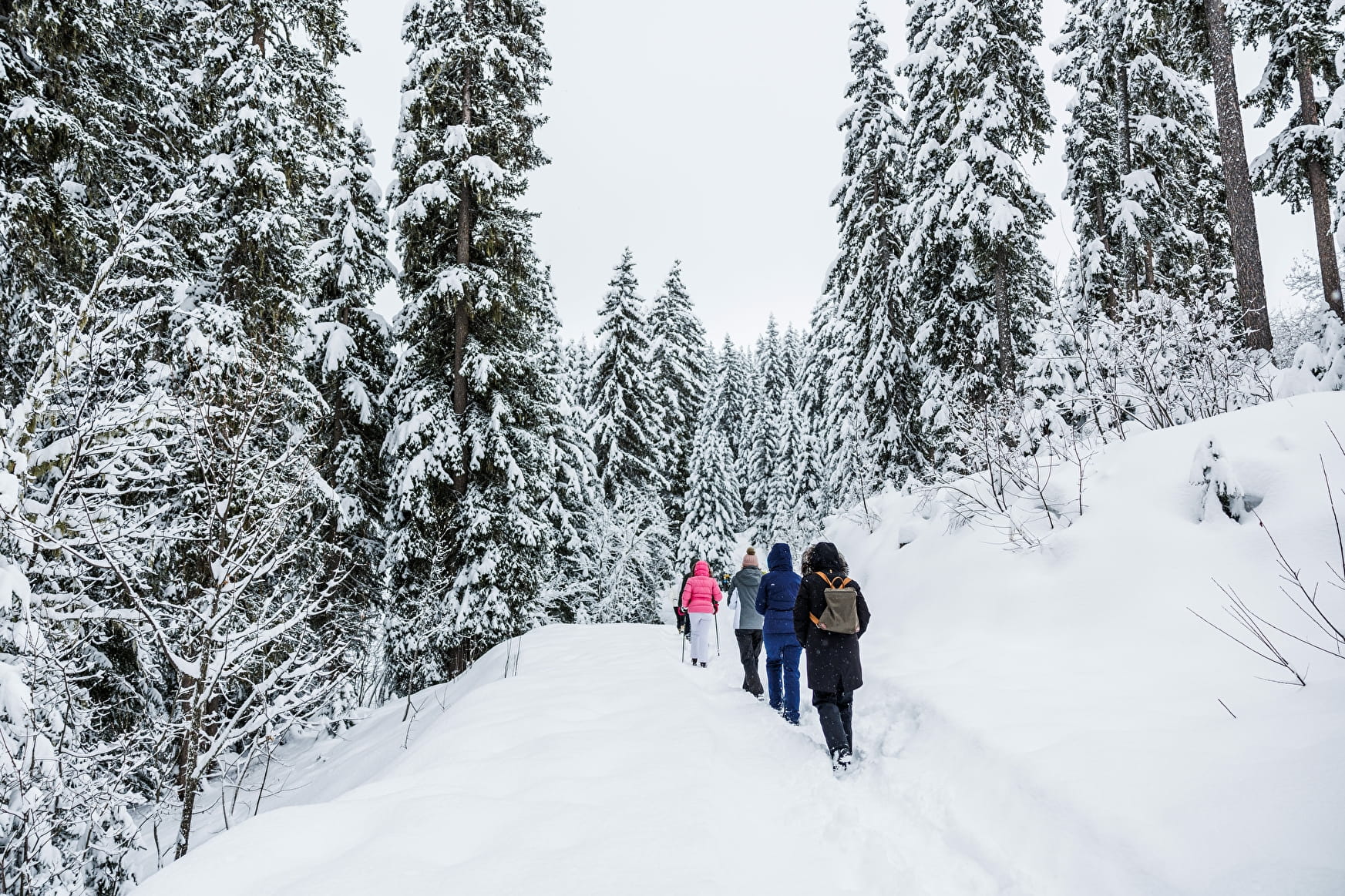
From the Altiport bus stop follow the "Route du Fontany", on the wide track follow the "Route forestière du Fontany" until you reach the "Sommet du Golf". On the left, follow the tranquil flat path (out and back). On the way out, enjoy the view of Tougnète, the Traie clearing and the Lauzière massif in the background. On the way back, enjoy the view of Dent de Burgin and Mont de la Challe. To return to the Altiport, when you reach "Plan" take the path on the left which runs alongside the piste

About

Signs
Marked trail with yellow signs and snowman State of maintenance and the opening/closing of footpaths and snowshoes is updated daily on www.meribel.net
Difficult passages
Trails could be slippery, depending on condition. Ask at the tourist office or take crampons and poles.
Map references
Méribel winter footpath map
Further informations
Groomed trail
Prices
Free access.
Reception
Toilets, changing table and picnic room at the Blanchot cross-country ski center
Marked trail with yellow signs and snowman
State of maintenance and the opening/closing of footpaths and snowshoes is updated daily on www.meribel.net
Please keep your dog in leash to not disturb the wildlife.
Period of practice
From 02/12 to 21/04.
- Pets welcome
- Car park
- Free car park
Contacts
Access
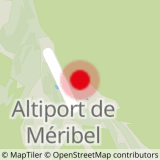
Bus stop Altiport
In order to help you : take the "Méribel resort map" starting points are indicated more precisely by orange arrow as well as the winter footpath map