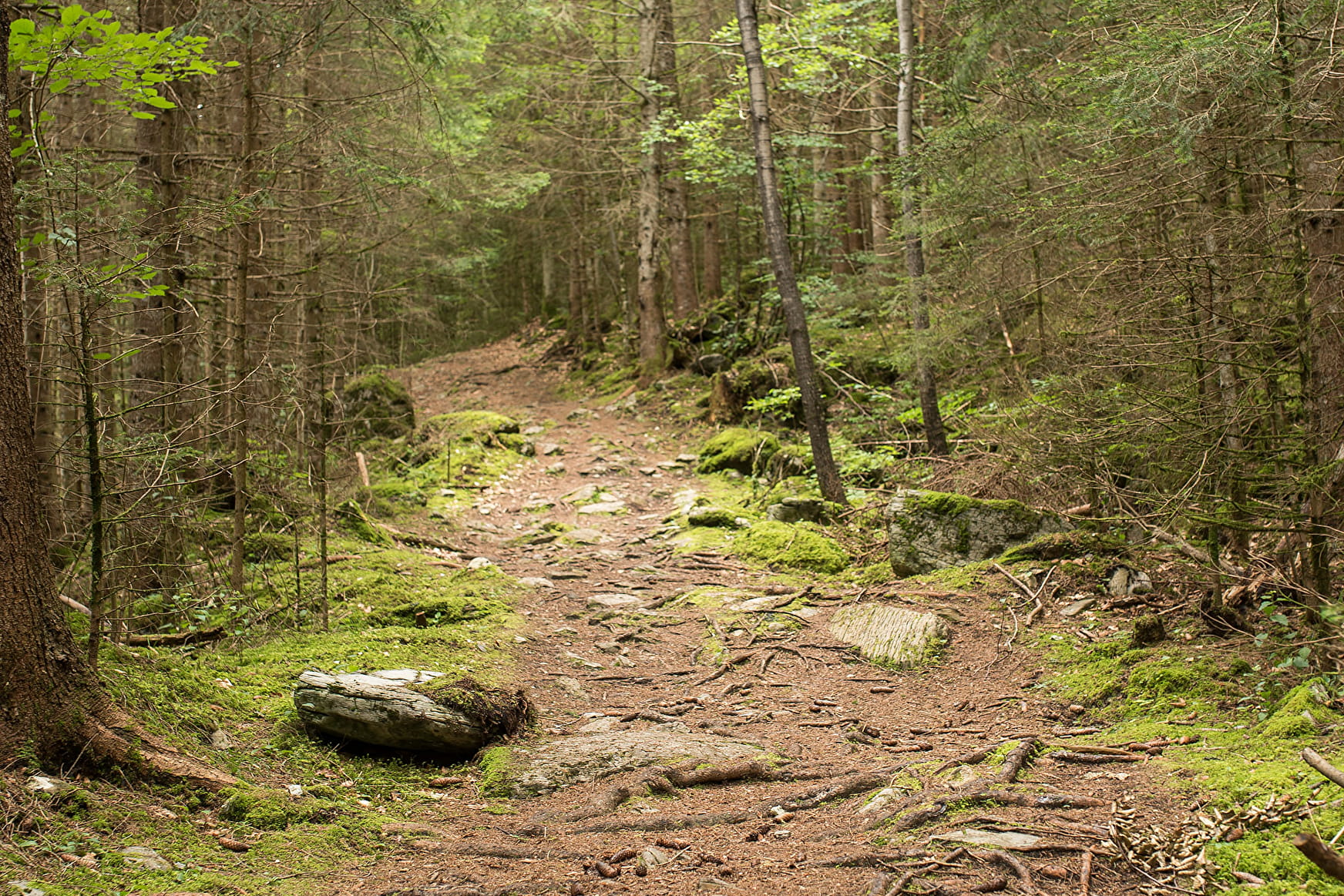
A woodland trail where you can enjoy the natural coolness of summer. Take the time to marvel and recharge your batteries in this green paradise!
- Sport
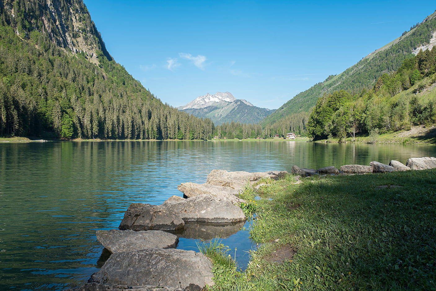
Walking trail: from the center of Montriond to the lake
A pleasant walk accessible to all, from the centre of the village to the superb Lac de Montriond.
Sport Walking trail: from the center of Montriond to the lake Montriond
About

Signs
Beige panels with black lettering and green arrows
Map references
Carte : IGN TOP 25, 3528 ET, Morzine
Further informations
Stone, Ground, Grit
1 4


1/ Start behind Montriond town hall, walk along the road until you see the footpath sign on the right.
2/ Go up into the forest, keep left at the fork in the road and follow the path. 3/ At the parking area, turn right as far as Lac de Montriond.
To return :
1/ Cross the car park to the road, go down for about 100 metres to the fork, take the road on the right.
2/ Walk 50 metres down the road to the footpath entrance on your left.
3/ Follow the path to the road (hamlet of Lavanchy)
4/ Continue for 30 metres and take the path on the left along the river
5/ Continue as far as the Chebourins bridge, cross the bridge and go back up the left bank
6/ Cross the hamlet of La Ranche to the roundabout, then continue straight on to the village of Montriond.
Prices
Free access.
Reception
- Choose your route according to your physical condition and the weather conditions.
- Follow the instructions for signposting.
- Don't set off too late in the afternoon, to make sure you're back before dark.
- Take sufficient food and water with you. Mountain sports require a lot of energy.
Period of practice
From 05/01 to 10/15 : open daily.
Services
- Pets welcome
- Restaurant
- Car park
- Free car park
- Public WC
Contacts
Access
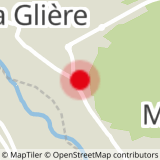
Departure point: car park at Place de la Mairie, in the commune of Montriond.
> access by shuttle bus: stop for the free Morzine/Montriond shuttle bus and the Balad'Aulps Bus (valley shuttle bus) in front of the town hall.
> access by car from Cluses or Thonon: D902 then D229