The pretty path alternates between clearings and woodland, passing through the charming hamlet of Les Albertans and its traditional old chalets. Admire the cliffs on your right, where several old galleries remain from which slate was extracted until the 1950s.
- Sport
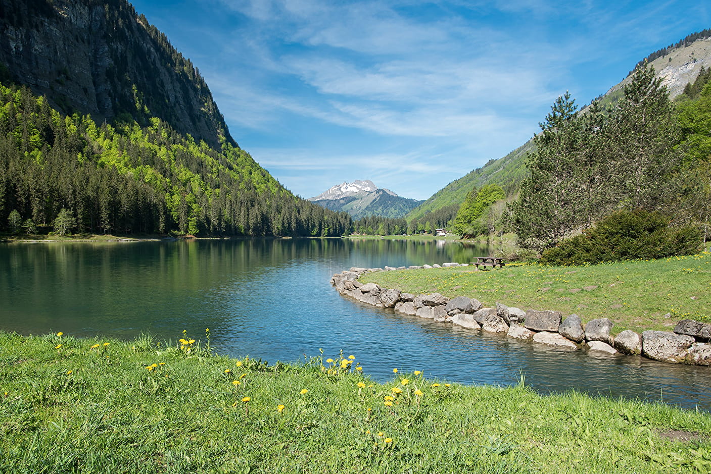
Walking itinerary: from Montriond Lake to Ardent Waterfall
A refreshing walk starting from Lac de Montriond, for young and old alike, to discover the listed site of the Cascade d'Ardent.
Sport Walking itinerary: from Montriond Lake to Ardent Waterfall Montriond
About

Signs
Beige panels with black lettering and green arrows
Map references
Map: IGN TOP 25, 3528 ET, Morzine
Further informations
Stone, Ground, Grit
1 6


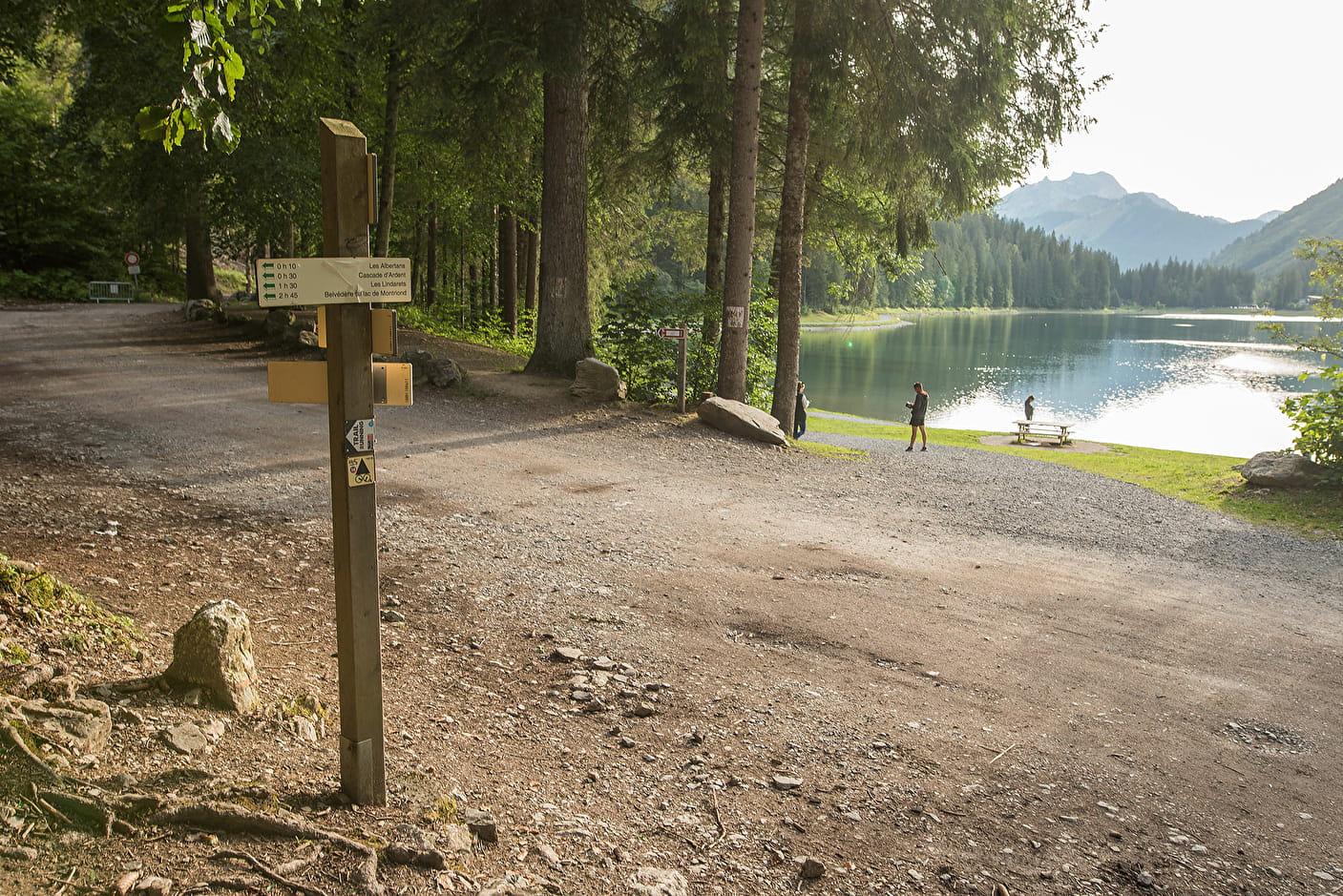
1/ Start from "Le Bout du Lac"
2/ Take the path up through the forest and follow it until you reach the hamlet of "Les Albertans".
3/ Follow the path up through the forest on the right bank, continuing as far as the Ardent waterfall.
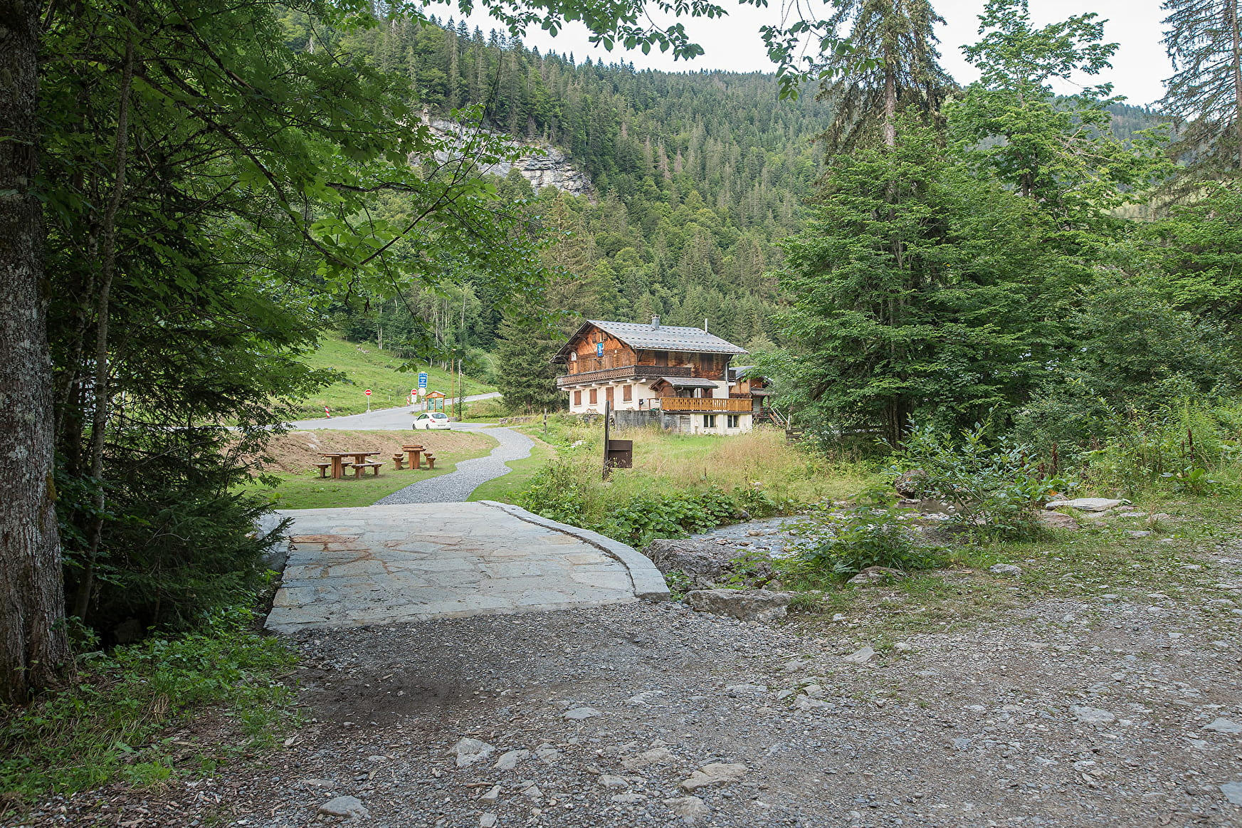
4/ Follow the path along the river on the right as far as the departure station for the Ardent cable car.
Prices
Free access.
Reception
- Choose your route according to your physical condition and the weather conditions.
- Follow the instructions for signposting.
- Take sufficient food and water with you. Mountain sports require a lot of energy.
Pets allowed
Period of practice
From 15/04 to 31/10.
Accessible outside the snow season and subject to weather conditions. Check with the Tourist Office beforehand for current access conditions. Recommended season: spring - summer - autumn.
Subject to favorable weather.
Services
- Pets welcome
- Accommodation
- Restaurant
- Car park
- Free car park
- Public WC
- Picnic area
Contacts
Access
Departure: bout du Lac de Montriond, free car park
> access by shuttle bus: stop of the free Montriond shuttle bus line M at the bout du lac
> access by car from Cluses or Thonon: D902 then D228