It enables you to explore all the facets of the Upper Giffre: the valley, its history and its population, the forests, the mountain pastures, and the mountain trails that provide some splendid panoramic views. The tour takes 6 or 11 days to complete and is intended for experienced hikders.
Starting altitude: 1,691m
Finishing altitude: 1,770 m
Particular difficulties: none
Recommended period June to the first snowfalls.
Itinerary for guidance only.
- Sport
Walk No. 47 - Tour of the Upper Giffre on foot
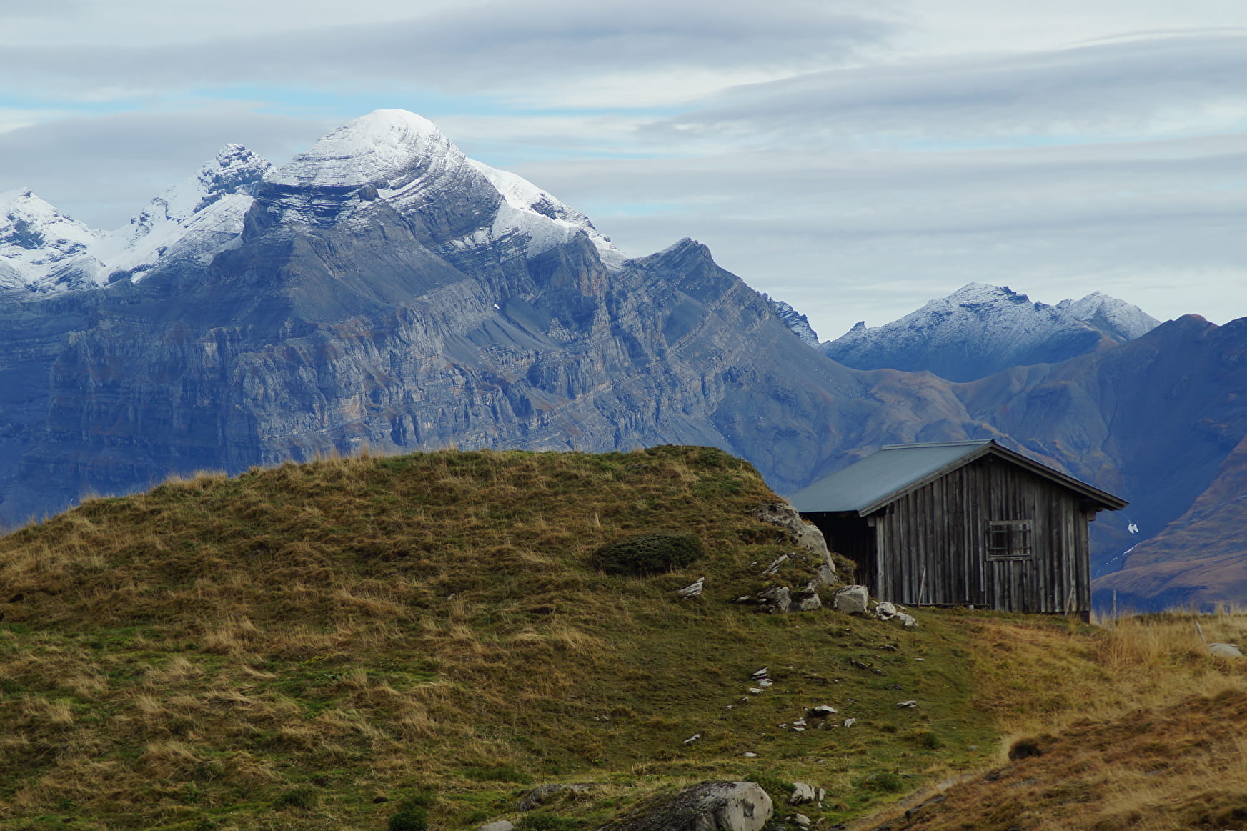
This superb tour combines several hikes set out in the guide published by the Upper Giffre association.
Sport Walk No. 47 - Tour of the Upper Giffre on foot Samoëns
About
Signs
Difficult/beacons and cairns in altitude
Difficult passages
Air crossings equipped with cables.
Map references
TOP25 IGN 3530 ET
Topoguides references
Guide reference: Upper Giffre valley ramblers' guide.
Further informations
Rock, Stone, Ground
1 3


Prices
Free of charge.
Reception
Period of practice
From 01/07 to 31/08.
Subject to favorable weather.
Contacts
Access
Access by car:
From Cluses, drive to Taninges (D 902), then to Samoëns Village via Morillon or Taninges. Park at the Grand Massif Express parking lot, at the entrance of Samoëns Village (South). Departure on foot from the Giffre Bridge, between the camping and the GME.


