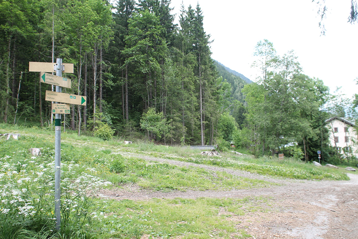
From the train station of Les Houches, join the road of Coupeau and cross the bridge
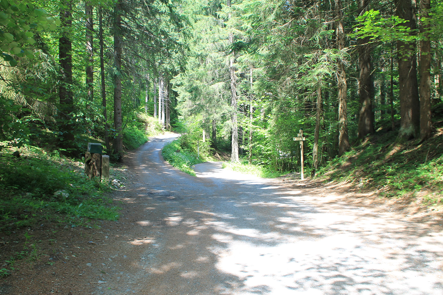
bridge over the railroad. Take the Eaux-Rousses path on the right, until you enter the undergrowth. Continue straight ahead on the path towards Chamonix. Following the Arve river up to the Bossons under the Vouillouds couloir, the forest track crosses the small wood and bypasses the Gaillands by the Promenade à l'Anglais, a place particularly suitable for photography (climbing rocks, lakes, refreshment bar...). Continue along the climbing rock until you reach the route des Pècles, on the left, and follow this road straight ahead to the center of Chamonix. Enter the town via the Lionel Terray traffic circle.
Return by the same route in 2 hours, or by public transport (bus or train).
This walk can be split up thanks to the departures from
the Bossons, Piralotaz and Montquarts bridges.
More information is available at the Tourist Office or the Office de Haute-Montagne and in our trail guide.
Warning: Trail conditions are subject to change, so please check before you leave.
- Sport
Walk linking the Arve river-Les Houches-Chamonix
A nice family walk that everyone can enjoy. The path lies at the foot of the southern slope of the Valley, following the right bank of the river Arve. Away from the traffic of the main road, easy and relaxing, this is the ideal walk to Chamonix.
Sport Walk linking the Arve river-Les Houches-Chamonix Les Houches
About

Further informations
Ground, Grit
1 11


Prices
Free of charge.
Reception
Period of practice
From 01/04 to 15/11.
Subject to favorable snow and weather conditions.
Services
- Pets welcome
Contacts
Access
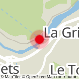
Closest bus stop : La Griaz/Le Tourchet
Closest train stop : Les Houches train station
Closest parking : Les Houches train station / Le Tourchet car-parks