• Sport

Vignes et côteaux

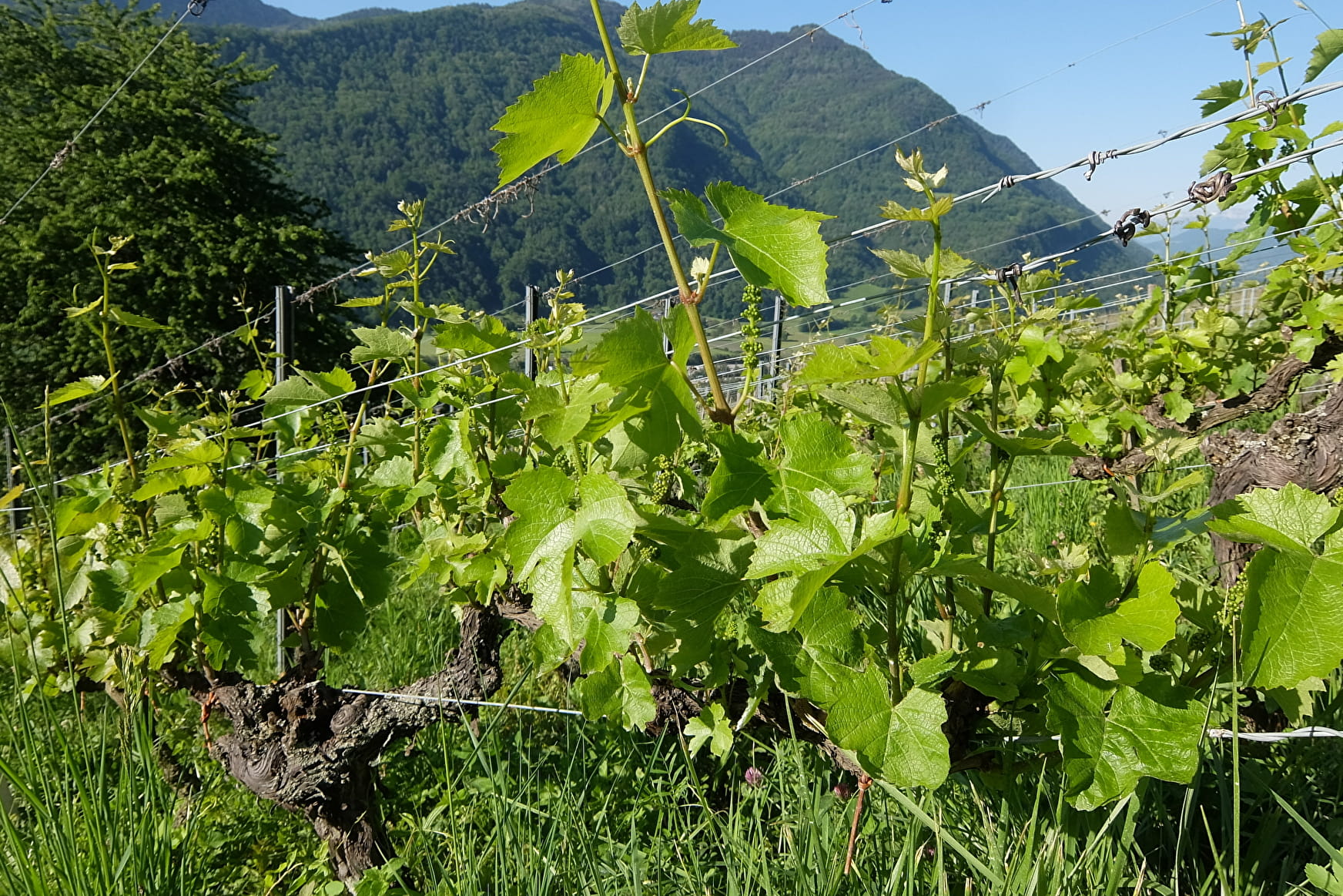
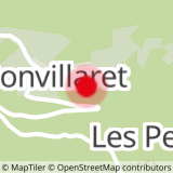
Sport Vignes et côteaux Bonvillaret

About

Departing from Bonvillaret (73220)
Average length : 02h20
Total elevation gain : 385m
Vertical drop : 385m
Distance : 6km
Signed walking trail
Animals allowed

Loop
Total elevation gain : 385m
Altitude max : 716m
Vertical drop : 385m

Further informations

Ground, Hard coating (tar, cement, flooring)

    1 2

    Prices

    Free access.

    Reception

    Animals allowed

    Period of practice

    All year round.

    Subject to favorable snow and weather conditions.

    Services
    • Pets welcome
    • Coach access
    • Motorhomes allowed
    Equipments
    • Picnic area

    Access

    Chef Lieu 73220 Bonvillaret
    Departing from : Bonvillaret (73220)
    Latitude : 45.56195 - Longitude : 6.301188
    Information update on 19/04/2024 by Office de Tourisme Porte de Maurienne