- Sport
Traversée des Bornes en mode doux. E3
This is an unusual hike, as you will start by going down into the Borne valley at Entremont in order to then begin a long climb uphill to the Lac de Lessy. A little less distance than before, but a bigger change in altitude.
About


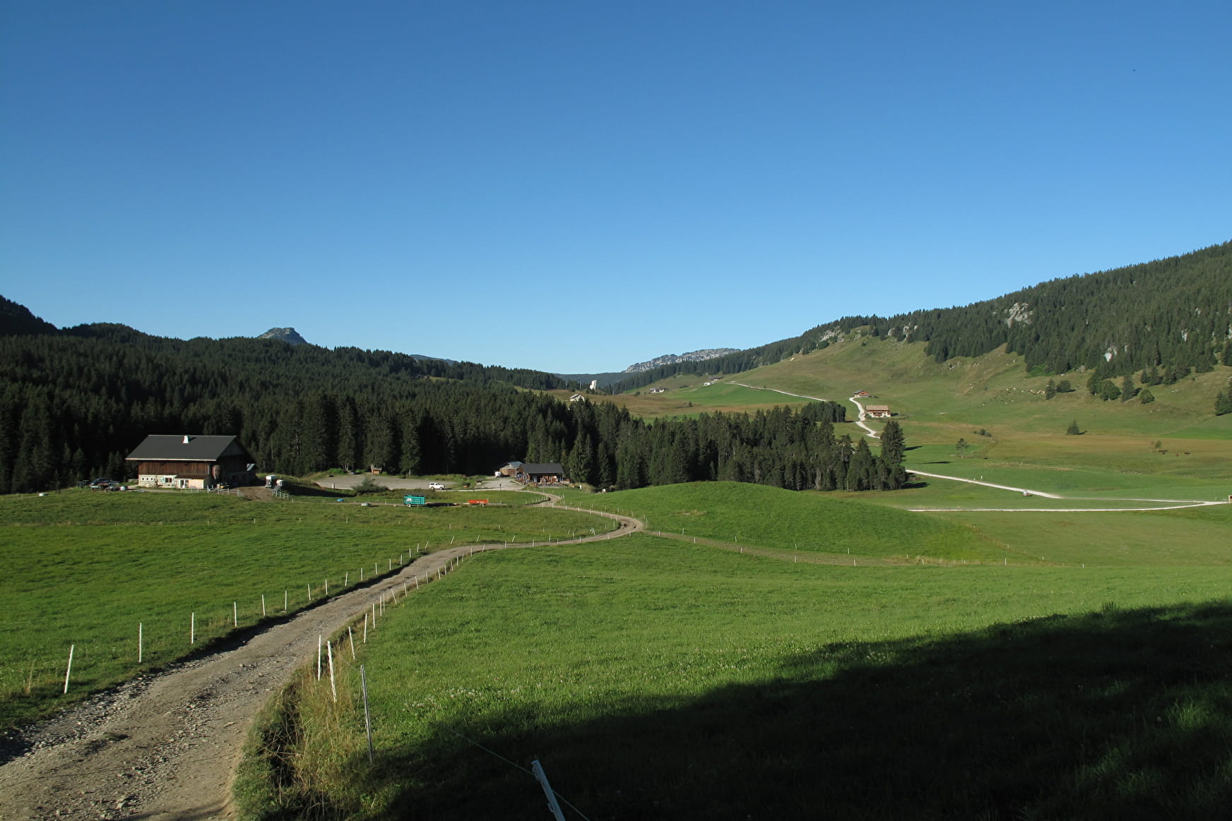
Departure: Plateau des Glières 1425m
1/ Following the signs for "Entremont", first reach the northeastern end of the Plateau by following the GR96 (end of the tarmac road leading up from Petit Bornand). Follow the GR96 along a path that climbs a little, then descends along a large meadow on its right-hand side. The path joins the road below, then leaves it on the right towards the Montriévray site, where heroic battles took place during the attack on the plateau in March 1944. Start the long descent along the path, which then descends steeply, with many twists and turns, to reach Entremont after following the Borne river.
2/ Follow the signs for "Lac de Lessy", first following the road, then an alpine track that leads to the Chalets de Mayse. The track becomes steeper and leads to the Col de la Forclaz, from where you can easily reach Lac de Lessy and the refuge.
Prices
Free access.
Reception
Whichever hike you choose, remember to take a rucksack packed with cereal bars, sufficient water, sunglasses, sun cream, a little first aid kit as well as appropriate clothing according to the season and weather forecast.
Period of practice
From 01/06 to 30/09.
Subject to favorable snow and weather conditions.

