Topo step by step : From the town hall of Saint-Sigismond to La Bordaz: 1h20 From the town hall, take the road towards Agy via Les Granges de la Frasse. Follow the arrows to a place called Chemin du Jourdil. From there, go up the road on the left for 200 meters. At the sign La Pierre du Crêt, go up on the left, by a rather steep path, direction La Bordaz (1h10). Pass two old farms and continue to climb (no signposting, but obvious path). At the earthen steps, turn left until Chemin de la Bordaz. The climb is over. From Bordaz to Agy (La Croix): 25 minutes Take a left until the end of the shaded path that leads to the ridges before arriving in the parking lot of the restaurant La Tanière. The Agy Cross is 5 minutes away. From Agy (La Croix) to Hauts Choseaux: 40 minutes To descend from the Cross, retrace your steps. Take the secondary road and follow the path on the left, which descends under the road. After about 500 meters, cross this road again and continue down to the village of Agy. The trail cuts the road several times before reaching the hamlet of Hauts Choseaux. From Hauts Choseaux to the town hall of Saint-Sigismond: 35 minutes At the crossroads, go straight towards the Croix du Chêne. When you reach the cross, take the tarmac road on the left to its terminus. The road continues and becomes a path. At the crossroads, turn left to reach the town hall parking lot.
- Sport
Towards the pasture of Agy - Hike
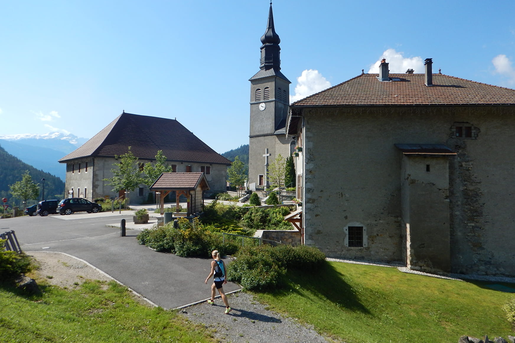
Pleasant stroll in the woods despite the steady rise from the start to the alpine pastures of St-Sigismond. At the top, admire the view of Mont Blanc and the Giffre massif.
Sport Towards the pasture of Agy - Hike Saint-Sigismond
About

Signs
Trail marked with directional posts (PDIPR)
Further informations
Stone, Ground
1 3


Prices
Free access.
Reception
Keep your dog on a leash, he can scare off herds and wild animals.
Period of practice
From 01/04 to 15/11.
Depending on weather conditions.
Services
- Pets welcome
- Play area
Contacts
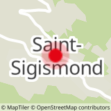
Access
From Cluses, take the D902 to Châtillon-sur-Cluses. At the roundabout, take the D6 on the right, direction Saint-Sigismond. In the center of the village of Saint-Sigismond, take the road going up to the left, direction Agy. Park in the town hall square.


