This hike takes you past alpine chalets and beautiful mountain scenery.
Starting from Prétairié, you climb through the undergrowth to reach the mountain pastures and chalets of Entre Deux Pertuis. The Pointe d'Ardens rises to an altitude of 1959 m.
After a good climb, you can then descend to the chalets d'Ardents, at the foot of the Pointe du Piron cliffs, where you may even spot marmots below!
You'll then descend to the Cubourré site and Lac des Plagnes, a UNESCO-listed Geopark. Didactic panels explain the geological evolution of the site.
At the end of the lake, you'll reach Prétairié via a path and then a forest trail.
- Sport
Tour of Pointe d'Ardens from Prétairié
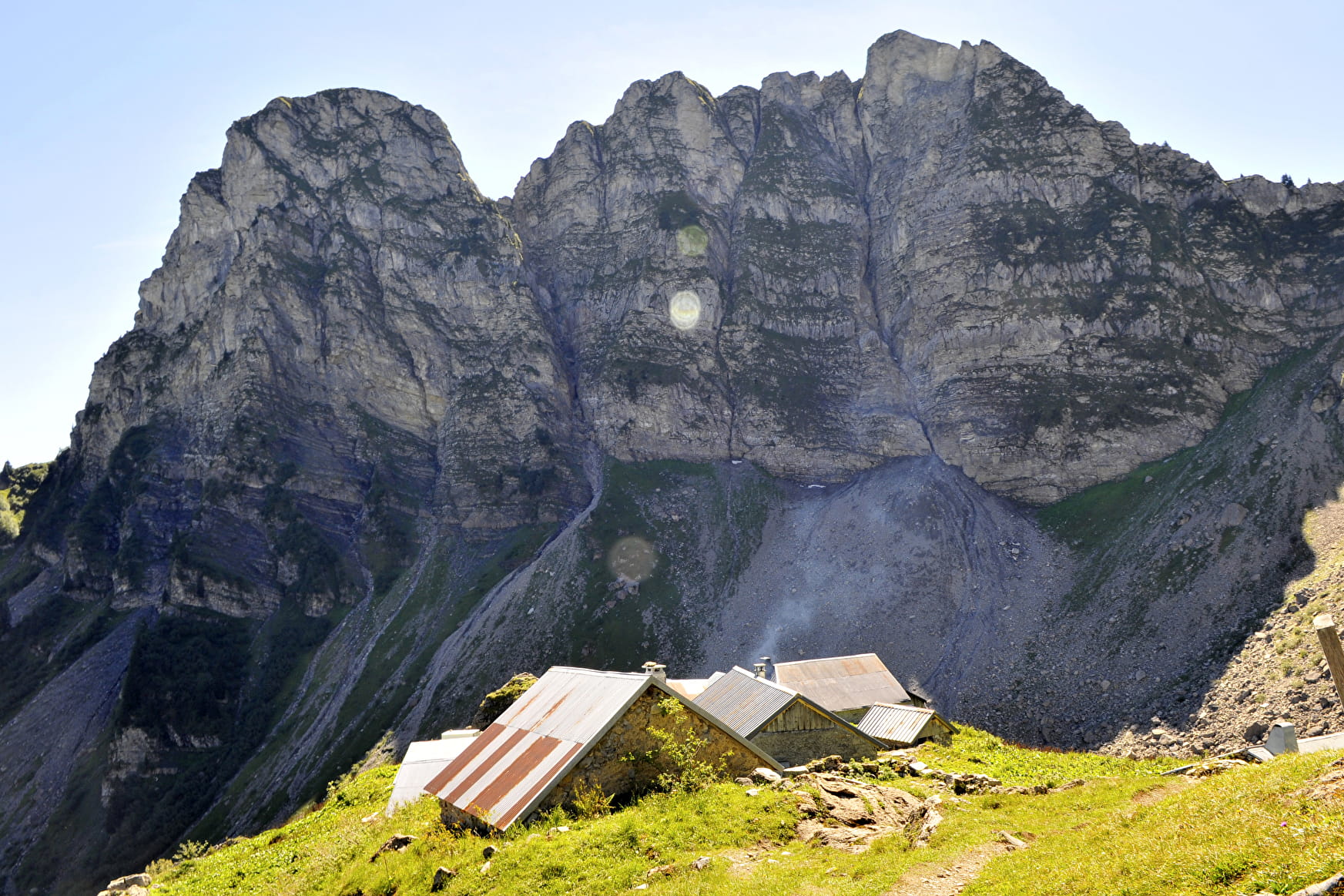
A lovely hike in the Abondance mountain pastures, with lovely views of Mont de Grange, the Valon de Pertuis and the Piron cliffs. You'll also reach the Cubourré site and the Plagnes lake, a Unesco Global Geopark geosite.
Sport Tour of Pointe d'Ardens from Prétairié Abondance
About

Signs
Departmental markings called P.D.I.P.R. on beige metal panels with green lettering.
Difficult passages
Fat climb from Gurfève to Entre Deux Pertuis.
Map references
Portes du Soleil hiking map in France and Switzerland TOP 25 N°3528 ET Morzine Massif du Chablais Les Portes du Soleil
Topoguides references
On sale in the tourist offices of the Abondance valley.
Further informations
Stone, Ground
1 7


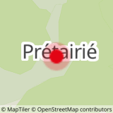
0/ "Prétairié" parking lot.
1/ Follow signs for "Entre Deux Pertuis" on the left. Climb through the forest, ignoring all junctions. When you reach the mountain chalets, continue upwards, following the signs for "Col d'Entre Deux Pertuis".
2/ At the intersection before the pass, take the left-hand path and follow signs for "Les chalets d'Ardens". At the chalets, follow signs for "Cubourré". Descend the small mountain cirque, and at the intersection after the stream, take the left-hand path through the forest towards "Lac des Plagnes". Follow the lake on the left.
3/ At the end of the path, turn left at the intersection and follow the signs for "Pré Chapeau" and "Le Cazot". At a small clearing, turn left and head slightly uphill to an intersection. Then turn right and begin the descent into the woods.
4/ At the next junction, turn right again. Continue downhill to the next junction, then turn right to reach the starting point.
Prices
Free access.
Reception
Period of practice
From 01/06 to 31/10.
Subject to favorable weather.
Services
- Pets welcome
- Parking nearby
- Free car park
- Car park
- Picnic area
Contacts
Access
The start of the hike is a 10-minute drive from the center of Abondance village. Follow signs for Prétairié.


