The Mont de Grange tour is a hike for experienced walkers.
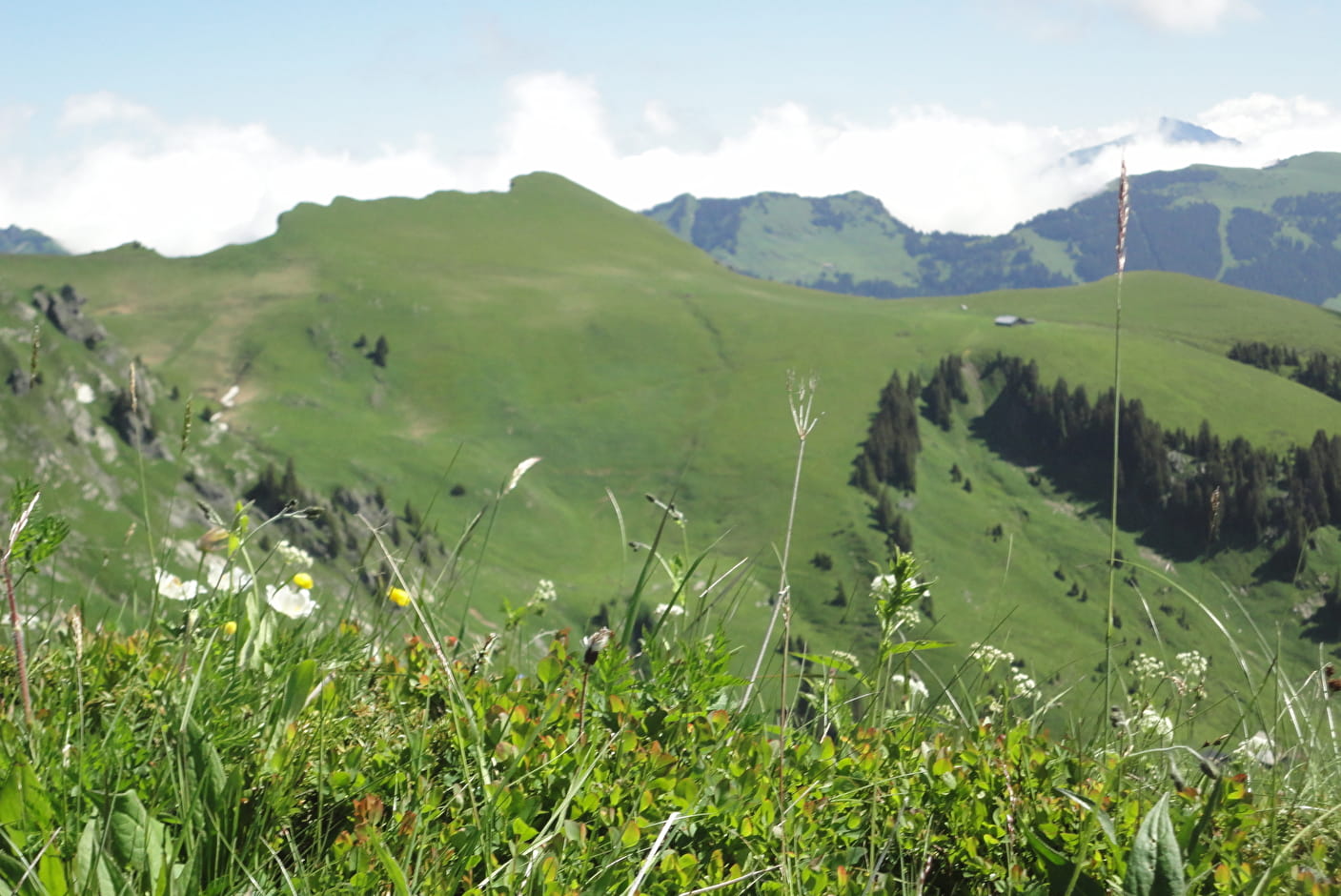
Mont de Grange is a 3,000-hectare nature reserve, classified Natura 2000.
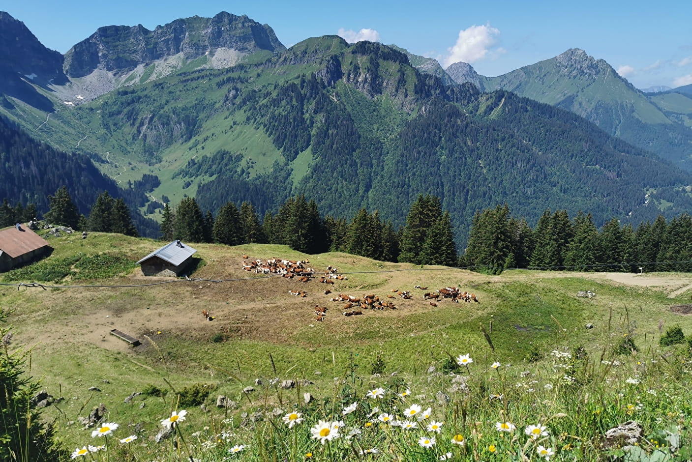
It's also a hunting reserve where deer, chamois, roe deer, mouflons, marmots, black grouse, ptarmigan, golden eagles... all live side by side. You can easily observe them early in the morning. This hike also invites you to discover wild flora such as martagon lily, paradise lily, alpine columbine, gentian and genepi.
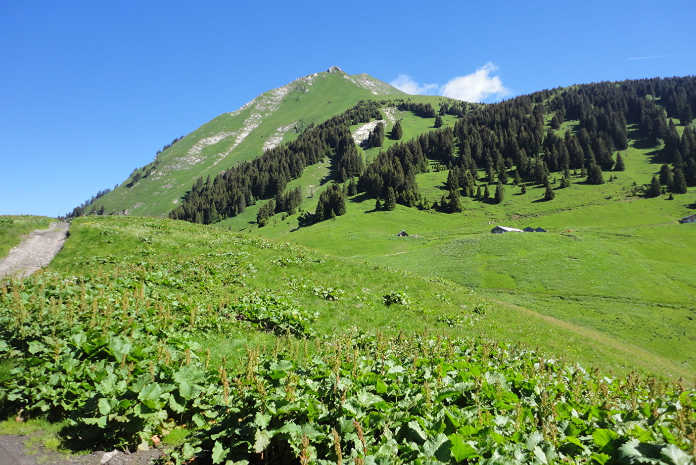
From the Plan des Feux in La Chapelle d'Abondance, take the gravel path towards Enquernaz. You cross the La Chapelle d'Abondance ski area and the Plaine Joux mountain pasture.
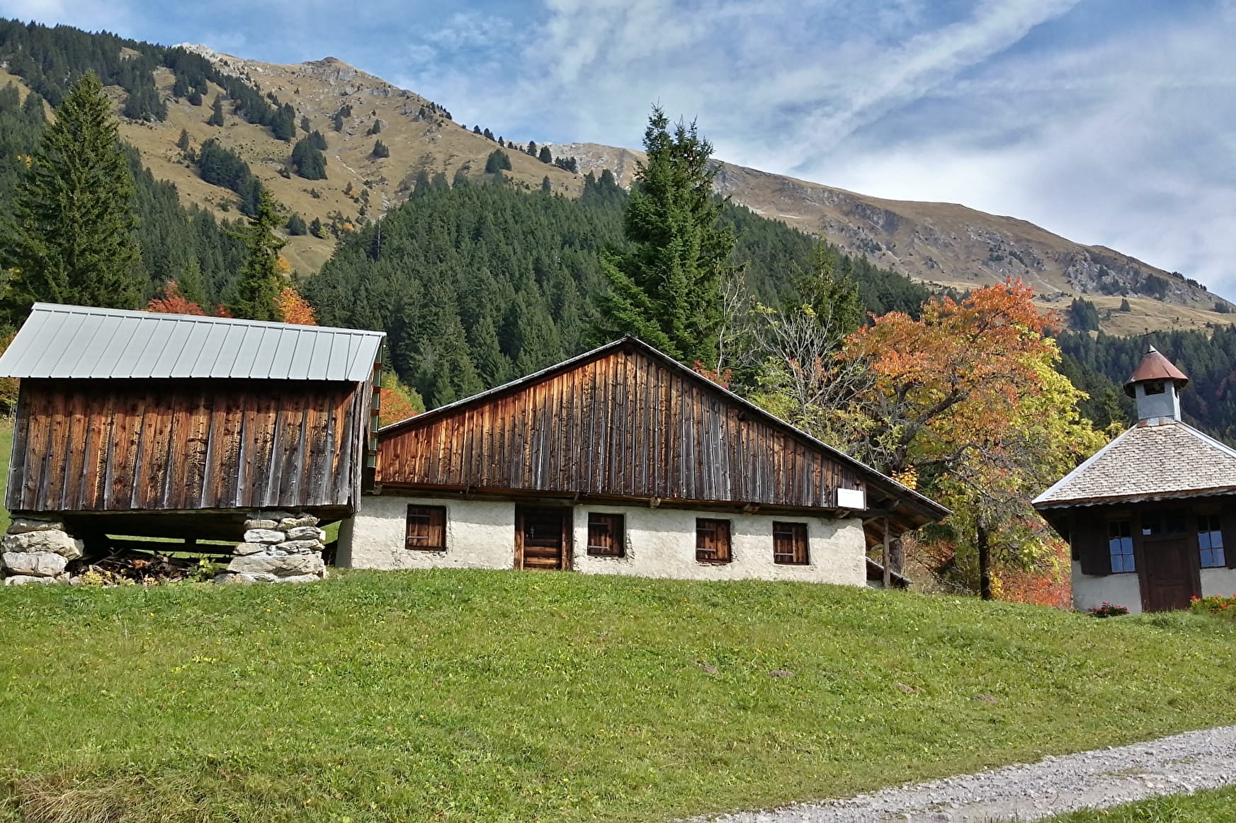
From l'Enquernaz, head towards the Saint-Théodule chapel. On the way to the chapel, you'll pass through a number of local villages and discover the traditional houses of Charmy l'Adroit in Abondance.
After the Chapelle Saint Théodule, you'll take a mountain path to the Lenlevay viewpoint, passing the Bailly and Jouly mountain chalets. You'll meet Abondance cows on these mountain pastures during the summer season. A beautiful panorama of Abondance and Châtel awaits you.
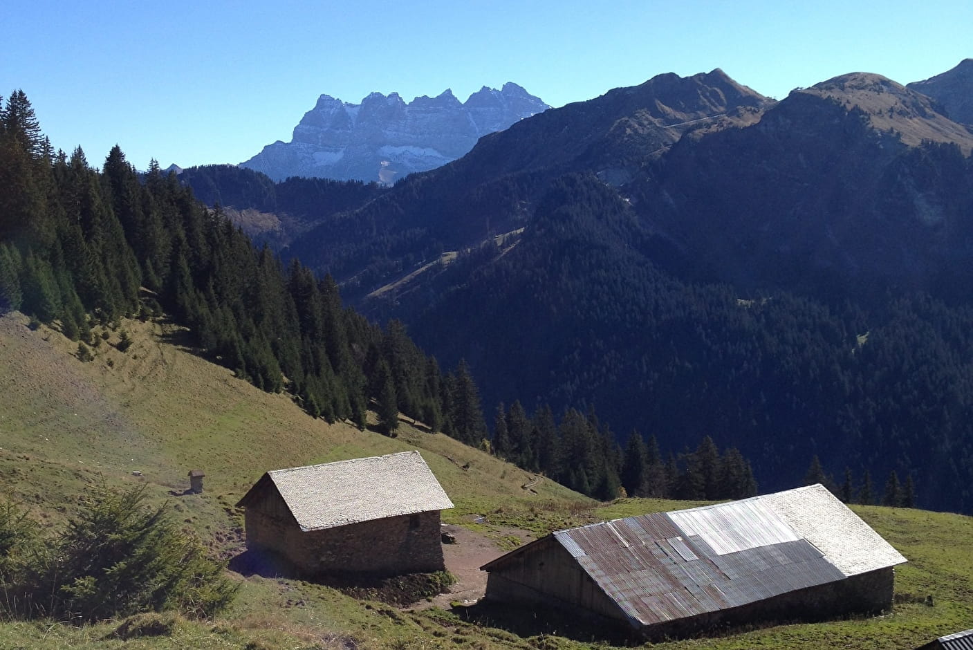
From Lenlevay, take the GR5 path via the Etrye, Pron and Mattes chalets. You'll follow the Pointe des Mattes down to the Chalet de Trebentaz and then back to the starting point.
Variations: possible departures from Chapelle Saint Théodule in Abondance or Tré-les-Pierres in Châtel.
- Sport
Tour of Mont de Grange from Chapelle d'Abondance
Mont de Grange is a Natura 2000 and hunting reserve.
This hike enables to discover a nature shared between wildlife and alpine pastures. This itinerary offers you beautiful views of Abondance, La Chapelle d'Abondance and Châtel.
About
Signs
Departmental markings called P.D.I.P.R. on beige metal panels with green lettering.
Map references
Portes du Soleil hiking map in France and Switzerland TOP 25 N°3528 ET Morzine Massif du Chablais Les Portes du Soleil
Topoguides references
On sale in the tourist offices of the Abondance valley.
Further informations
Stone, Ground


- From Les Mattes, you can branch off to the Trebentaz refuge.
- From the Chapelle Saint Théodule, you can branch off to the refuge des Tindérêts, via the Lac des Plagnes.
0/ Departure point: Parking du Plan des Feux, La Chapelle d'Abondance
1/ Take the gravel path towards "L'Enquernaz". You cross the La Chapelle d'Abondance ski area and the "Plaine Joux" mountain pasture.
2/ At "L'Enquernaz", descend towards "La Chapelle Saint-Théodule". At "Les Fauges", follow the asphalt road to "Les Poses". From here, take the path behind the chalet to "Les Séchets". Follow the asphalt road on your right to "Fontaine Froide". At the crossroads, turn left towards "La Plagnette". At "La Plagnette", the road becomes a path that leads to the "Chapelle Saint-Théodule".
3/ After the chapel, follow the road to "Lenlevay", passing the "Chalets du Bailly" and the "Chalets du Jouly".
4/ At "Lenlevay", turn left onto the GR5 path which passes through the chalets towards "l'Etrye". Pass the chalet and then the Etrye stream. The path then climbs up to the "Pron" chalets, then to "Les Mattes" and down to "Chalet de Trebentaz". You will then pass the viewpoint "La Corne" and "Les Chalets du Folliet".
5/ Finally, turn left onto the forest track that leads to "Plan des Feux".
Variants : You can reach the summit of Mont de Grange via the Coincon ridge. You can also start from Saint-Théodule in Abondance or from Très les Pierres in Châtel.
Prices
Free access.
Reception
Dogs must be kept on a leash because of the presence of herds, Natura 2000 reserve and hunting reserve.
Period of practice
From 01/06 to 30/09.
Accessible outside the snow period and depending on weather conditions. Check with the Tourist Office beforehand to find out the current access conditions. Recommended practice period: spring - summer - autumn.
- Pets welcome
- Car park
- Free car park
- Parking
Contacts
Access
Recommended parking: Plan des Feux - La Chapelle d'Abondance
The closest bus stop: La Sauge by the Colombus (summer only), to join Sur Bayard and the GR5.