Departmental signposting PDIPR
The hike begins with a stop at the Serranants mountain chalets. Here you may meet a herd of Abondance cows, recognisable by their mahogany coat and glasses around their eyes.
You will then reach the combe de Savolaire and then the col de Savolaire (1930 m), where a beautiful view of the mountains of Chablais awaits you.
You will then reach the Brion chalets by a steep descent. You are now in the Aulps valley.
When you reach the chalets de Brion, take a path that rises through a forest to the Col de Crèvecoeur and then descends to the lower lake of Damoz des Moulins, then its upper lake, now a high altitude peat bog.
You will then reach the Damoz des Moulins pass which separates the Pic de la Corne and the Mont Brion to discover a panorama of the Abondance valley.
The route back to the chalets of Serranants.
- Sport
Tour of Mont Brion
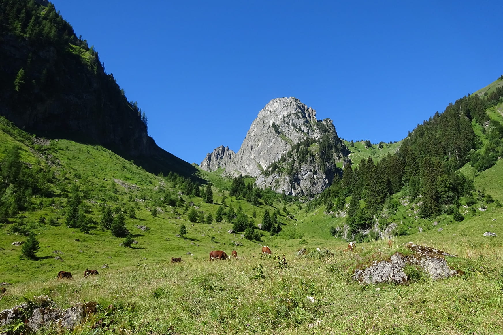
A hike between the Abondance and Aulps valleys. All along the way, discoveries await you such as the Serranants mountain pasture, the col de Savolaire or the Damoz des Moulins lake.
About

Signs
Departmental markings called P.D.I.P.R. on beige metal panels with green lettering.
Difficult passages
Steep passages that can be slippery, bring good walking shoes and sticks.
Map references
Map of the Portes du Soleil walking routes in France and Switzerland TOP 25 IGN 3528ET
Topoguides references
On sale in the tourist offices of the Abondance valley.
Further informations
Stone, Ground


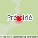
0/ Parking de Prétairié.
1/ Take the path to the Serranants mountain chalets.
2/ Before the upper chalets, fork left and pass the fence to reach the large boulder.
3/ Take the passage de Savolaire. Follow the large flat area to find the path that climbs the combe de Savolaire. You reach the Col de Savolaire (1930 m) on a steep slope.
4/ Go straight down towards the Brion chalets.
5/ When you reach the Chalets de Brion, take the path on the right which rises through a forest to the Col de Crèvecoeur.
6/ Once you've reached the pass, take the path back down to the lower Damoz des Moulins lake. Follow the path to the upper lake.
7/ Reach the Damoz des Moulins pass. Descend the path that winds through the large couloir. At the bottom of the couloir, follow the path to the left and rejoin the ascent route, just before the Serranants chalets. Continue on to the Prétairié parking lot.
Prices
Free access.
Reception
Dogs must be kept on a lead because of the presence of herds.
Period of practice
From 01/06 to 31/10.
Subject to favorable weather.
- Pets welcome
- Car park
- Parking nearby
- Free car park
Contacts
Access
The Prétairié parking lot is a 5-minute drive from the center of Abondance village, in the direction of Charmy l'Envers. The parking lot is at the end of the road.


