This discovery trail allows you to discover the natural and patrimonial riches of Mount Benand. Magnificent views follow one another over Lake Geneva, the Jura, the Mémises, the Bernex valley with its peaks (the Dent d'Oche, Mont César, the Pic de Boré, Pelluaz, Chesnay) and the Gavot plateau. Classified as a Unesco Geopark site, explanatory panels help you to discover all the riches of the place. You will discover the Cross of Bénand and by a small diversions the barns of Mont Bénand, witnesses of the past and of life in the mountain pastures in the past.
- Sport
Tour of Mont Bénand from La Beunaz chapel
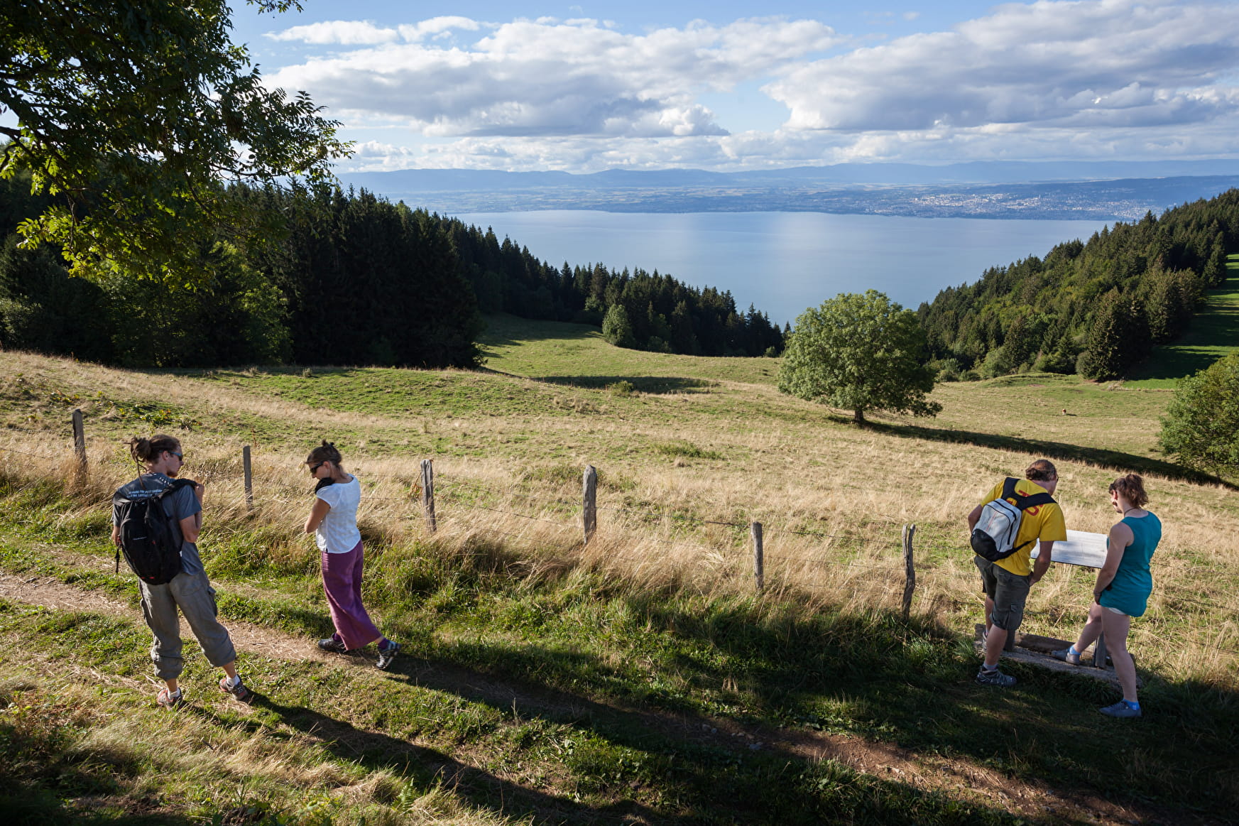
A family-friendly and slightly sporty walk through pastures and villages. Enjoy the beautiful views of the Mémises, Mont César and the Dent d'Oche, as well as Lake Geneva.
Sport Tour of Mont Bénand from La Beunaz chapel Bernex
About

Signs
Departmental markings called P.D.I.P.R. on beige metal panel and green writing.
Map references
TOP 25 N°3528 ET
Topoguides references
On sale in the tourist offices of the pays d’Évian.
Further informations
Stone, Ground, Hard coating (tar, cement, flooring)
1 3


0/ Start from the chapel of Notre-Dame des 7 douleurs.
1/ Follow the road down to the crossroads and follow the signs for "Les Faverges". Then cross the hamlet and head up towards Bernex. You'll pass a pizzeria. Continue along this road, past the house and take the left-hand path.
2/ This path takes you through the fields to the entrance to Bernex village. Go down to the traffic circle, then turn left. Take the road that climbs to the left, past the school. Follow the road until you reach a field. Follow the path up through the field to Bénand.
3/ At the small crossroads, take the upward road opposite (Impasse du vieux village) and turn right after the second house. Follow the narrow road to a private passage. Take the track on your left. Continue across the field until you reach another road.
4/ Take the small road in front of you and climb up. You'll pass the Creusaz chapel. Keep climbing until you reach the end of the road and a farm. Follow the path through the mountain pastures. Ignore any forks in the road. At the Bénand cross, take the right-hand path. Continue into the woods. At the end of the forest, ignore the intersection and continue on the path in front of you. You'll come to a small farm.
You can stop off at the cross to admire the magnificent panorama.
5/ At the bend, take the right-hand track and continue downhill through the woods. You'll come to a small road and the appearance of houses. Continue downhill until you reach a crossroads. Continue downhill on "Route de la plage". At the stop sign, turn left. Follow the road for 500m and you'll reach your starting point.
Discover the geology of the area with the Geopark of Chablais: explanatory panels are on the route.
Prices
Free access.
Reception
Be properly equipped and shod.
Pets allowed on a lead only because there are herds.
Period of practice
From 01/04 to 30/11.
Accessible outside the snowy period and depending on the weather conditions. Please check with the Tourist Office beforehand to find out the current access conditions.
Services
- Pets welcome
- Accommodation
- Restaurant
- Picnic area
- Car park
- Parking nearby
Contacts
Access
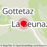
Parking at the hamlet of Creusaz, Bernex village center and Lac de La Beunaz.


