From the car park at the top of the village (1010m), take the direction of Replat (1150m) where a first panorama of the Beaufortain foothills and the Vanoise glaciers awaits you. Climb into the forest where with a little luck (and silence!), You can see black deer and squirrels and why not hear the green woodpecker.
You then take the direction of Mont d´en Haut (1450m) sheltering a nice panel of alpine chalets to continue on La Darbella (forest road) to Plan de Lay, the highest point of the route (1650m).
A superb overview then awaits you on the Vanoise and Mont Blanc on one side and on the other side a wide wild valley dominated by La Pointe de Combe Bronsin (2499m), you can also see the valley of Morel (Valmorel station).
You then descend towards the Gelon bridge and its still very active torrent. Take the descending path towards La Ramée to reach La Freidaz (alpine chalets) and finally Villard-Soffray (along the regional road). Walk a hundred meters on the road (watch out for traffic which can be heavy on fine summer days - motorbikes and motorhomes) to reach the small path on the left towards the village of the Church, the starting point of the route .
No major technical difficulties, precise monitoring of the signage is recommended.
- Sport
Tour de Bonneval - B2
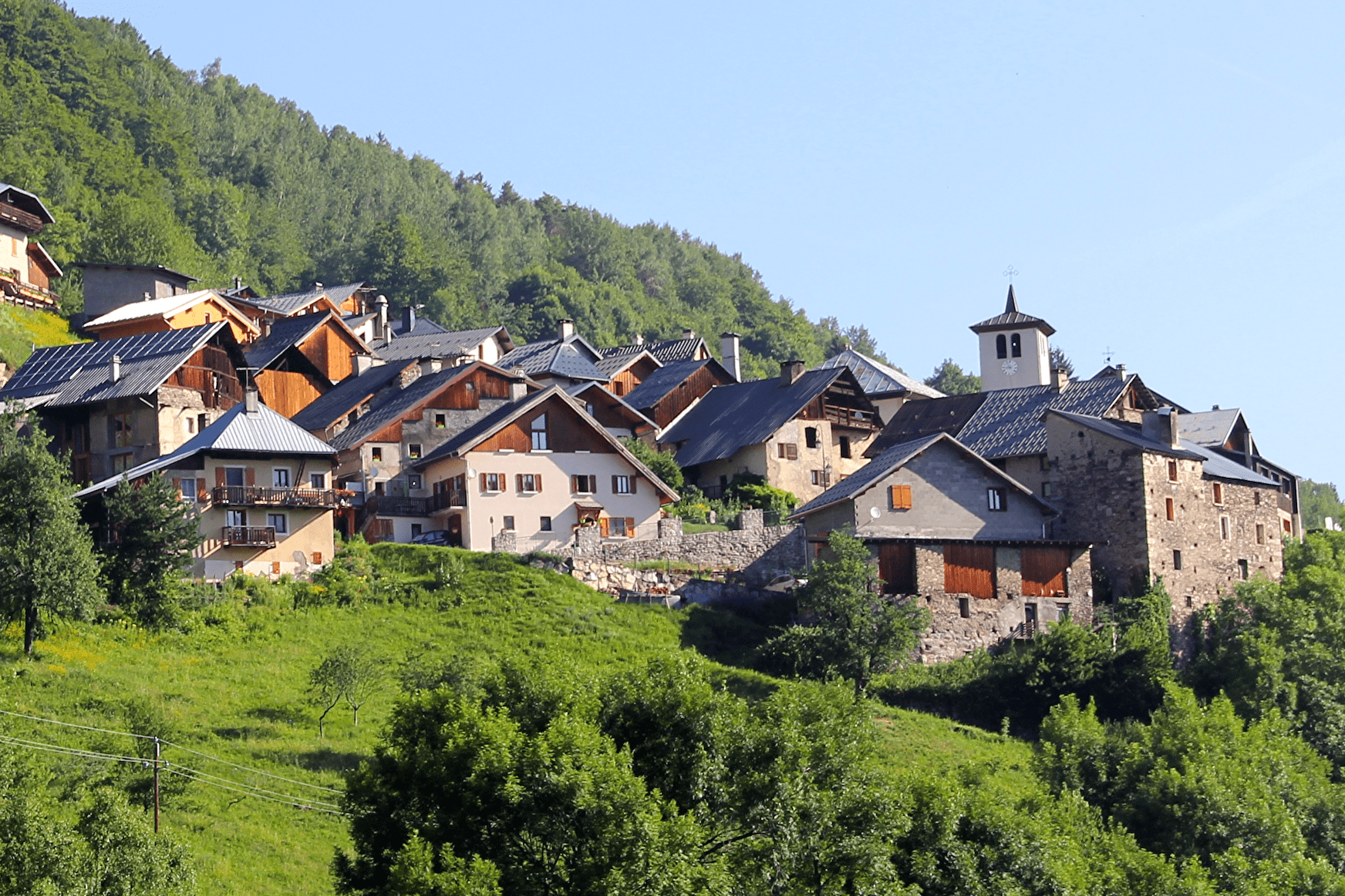
Easy hike from the hilltop village of Bonneval.
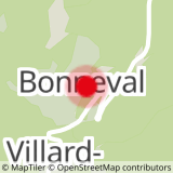
Sport Tour de Bonneval - B2 La Léchère
About

1 6


Prices
Free access.
Reception
Period of practice
From 01/06 to 31/10.
Services
- Pets welcome


