Departure point: La Bouillette, 2 km north of the hamlet of la Croisette via the D41
Departure altitude: 1214 m
- Sport
Through the Salève mountain pastures
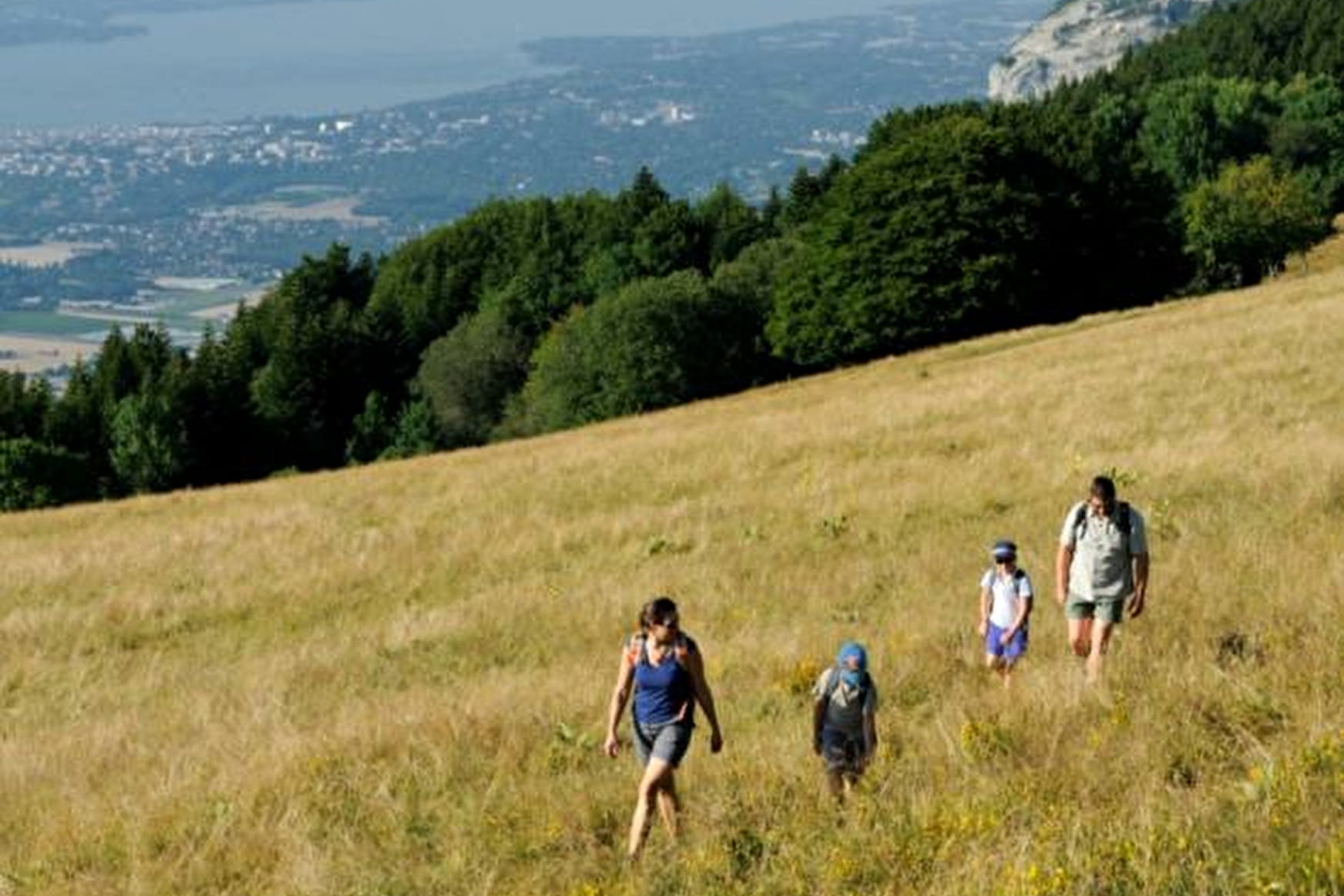
Following in the footsteps of Horace-Bénédict de Saussure, discover the geology of the Salève. Then make your way through alpine meadows and undergrowth. Finally, enjoy a magnificent view of Geneva, Lake Geneva and Mont Blanc.
About

Signs
signpots
Difficult passages
Overhead passage (handrail) at La Corraterie Avoid in rain, snow, mud or ice
Further informations
Rock, Ground
Prices
Free of charge
Reception
Period of practice
Throughout the year : open daily.
Services
- Pets welcome
Contacts
Access
Starting point La Bouillette,650m away from La Croisette - north direction on D41
La Croisette 8 km south-east of Collonges-sous-Salève via the D145 and D45.