Go up to the Croisse-Baulet via the Crête (La Stavane, Le Leuta), then come back down via the Col de l'Avenaz.
The Avenaz boundary marker :
The marker was discovered in 1992. It is 1.55m high and 30cm thick at the base, 22cm at the top, made out of protogine (a metamorphosed green granite notably found in the Mont-Blanc mountains), and bearing the same inscription, “Fines”, as the Jaillet boundary marker on its upper section. This marker was found close to the Col de l'Avenaz, lying down on the ground. It was knocked down on purpose and thrown on to the grassy slope by the village of La Giettaz. Indeed, on a map dated 1606, there are several boundary markers engraved with the word "Fines" which appear in river beds, with the text suggesting that they were thrown there by shepherds from Cordon who wanted to make the boundaries between the two villages disappear.
A gentle climb takes you up to the Petit Croisse-Baulet.
The Petit Croisse-Baulet boundary marker :
The top part of this boundary marker was destroyed many years’ ago, rendering any inscription invisible. If, at a later date, these markers were used to fix the village limits of Cordon, Combloux and La Giettaz, it is logical to think that in the first century AD they indicated the border between the Viennese and the Ceutrons, established in 74 AD. This boundary marker was only discovered in 1992, made from protogine.
From the Petit Croisse-Baulet, take the footpath to the Col du Jaillet (via the Pré du Col).
The Jaillet boundary marker :
This Roman boundary marker, engraved with the word "Fines", meaning border, was discovered in 1963. It provides additional information regarding the stele which was found in 1852 at the Col de La Forclaz, bordering St Gervais, Passy and Les Houches. In order to keep peace in the Roman Empire, Emperor Caesar Vesparianus Augustus decreed that this stele marked the official border between two rival tribes ; from then on the Viennese or Allobroges tribe would occupy the Arve valley, leaving the Montjoie valley to the Ceutrons. The existence of the Jaillet boundary marker led to the theory that this border, which went through Le Châtelard, on the edge of the Chamonix valley, the Col de la Forclaz and Les Amerans, carried on as far as the Aravis. Therefore, during the first century AD, under the domination of the Romans, the Megève and Val d'Arly plain and the Montjoie valley, were occupied by the Ceutrons whose capital was situated in the Tarentaise.
Descend via Le Planet, Les Iles until you get back to the hamlet of Le Plan.
- Leisure
Theme trail : Roman boundary markers
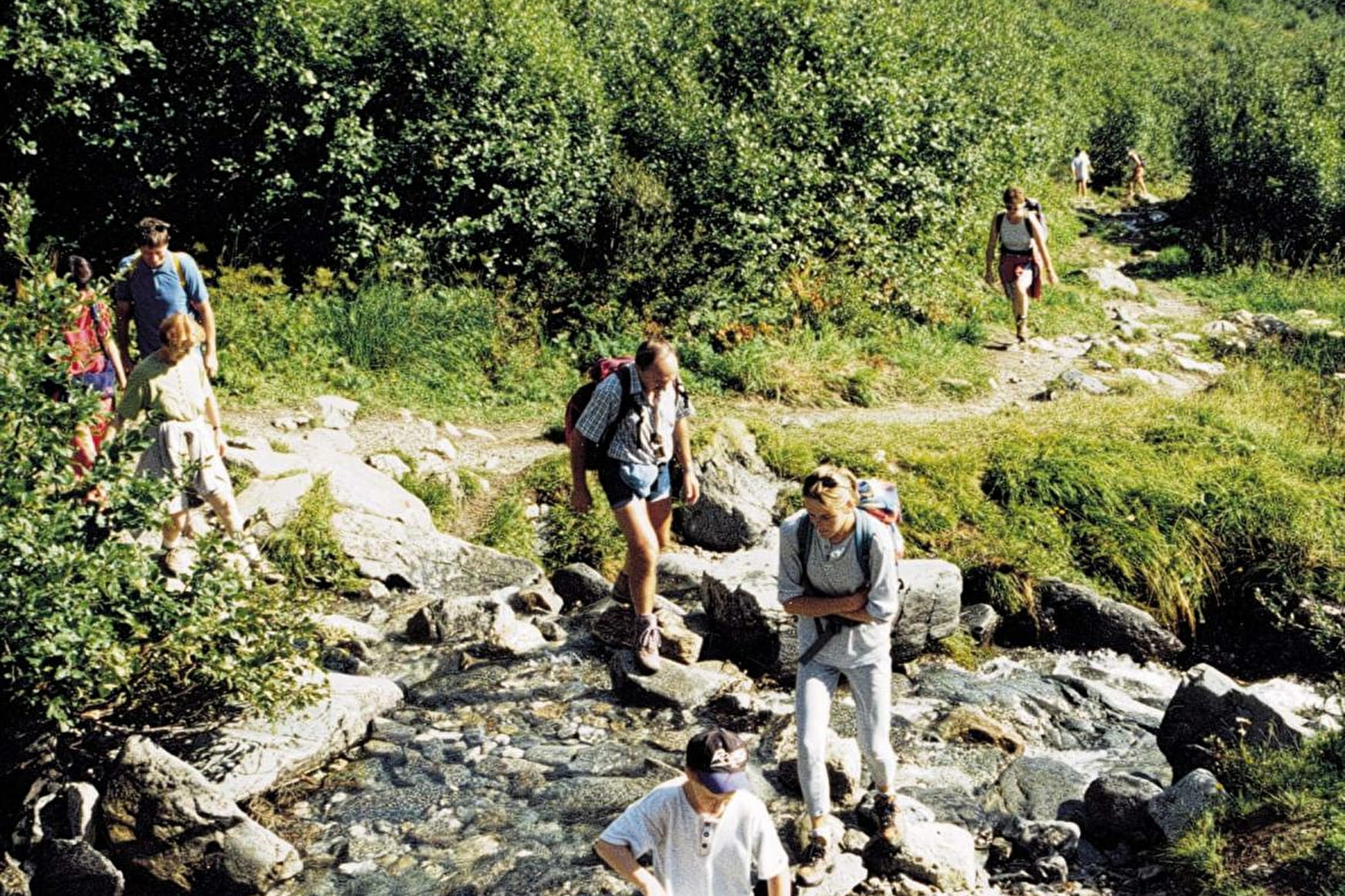
Hiking in the footsteps of the Ceutrons with Mont-Blanc in the background.
A ridgeline footpath, starting in the hamlet of Le Plan, linking three places (Col de l'Avenaz, Petit Croisse-Baulet and Col du Jaillet), where you will find three boundary markers dating from Roman times.
Leisure Theme trail : Roman boundary markers La Giettaz
About
1 1

Prices
Map of walking routes on sale at the Tourist Office at € 7.00.
Methods of payment accepted : Cash
Reception
Period of practice
From 01/05 to 01/10.
Services
- Pets welcome
Contacts
Access

