- Sport
the way of the vineyards
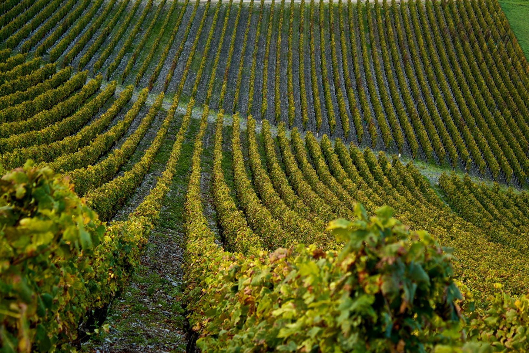
Le Chemin des Vignes is a balcony route above the plain of Isère, under the Bauges. It goes through the Combe and the cluse of the wine-producing Savoy, more often on the route of the ancient roman way that connected Vienne to Milan.
The route is around 30 km long and will lead you from Fréterive to Chignin (plan a come back by car). A come back by train is also possible by the day by taking the route between Montmélian and Saint-Pierre d'Albigny.
Sport the way of the vineyards Chignin
About

Further informations
Non-groomed itinerary, Stone, Ground, Grit
1 2


Reception
Period of practice
All year round.
Services
- Pets welcome

