Take the Loriaz path or the forest track to the Hameau des Granges
(1 566 m) : leave these 2 itineraries on the right. Follow the path on the left which
between the houses, goes on the side of the mountain under the Cornes de Loriaz
and climbs a rocky outcrop. A slight descent, with a passage (pitons and chain)
a slight descent, with a passage (pitons and chain), leads to the edge of the torrent in the valley. Continue until the altitude
1 990 m at the entrance of the gorge.
Descent 2 h by the same route or by a steep path (pitons, cable)
that we find on the way back on the right at the Cornes de Loriaz. It follows the water of the Chie des Coins, Tré-les-Eaux, then the Meunière to reach the village of Couteray by Sur-le-Rocher.
Other suggestion:
Possibility to go up to the small lake of the Gouille aux Bouc at about 2,230 m, then to the Cols des Corbeaux and de la Terrasse near the Lac Vert and back down to the refuge of Loriaz. Caution : itinerary without path, materialized by cairns. Possible climbing in the valley of tré les eaux: topo "l'eau noire, les aiguilles rouge 2" Michel Piola
- Sport
The Tré-les-Eaux Valley
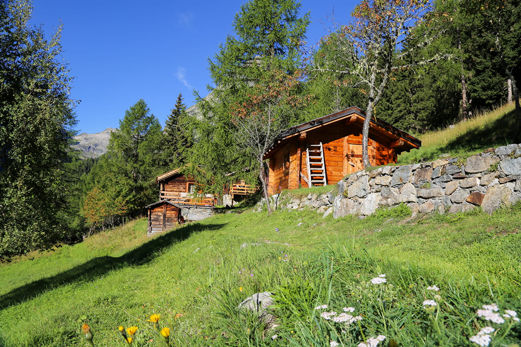
A hike through a natural mountain circus at the foot of Le Buet and the Tre-les-Eaux glacier. Beautiful flowers in June and July.
Sport The Tré-les-Eaux Valley Vallorcine
About

Further informations
Stone, Ground
1 5


Prices
Free of charge.
Reception
Period of practice
From 01/06 to 31/10.
Subject to favorable snow and weather conditions.
Contacts
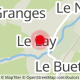
Access
Closest train stop : Le Buet train stop
Closest parking : Le Buet / Le Couteray car-parks


