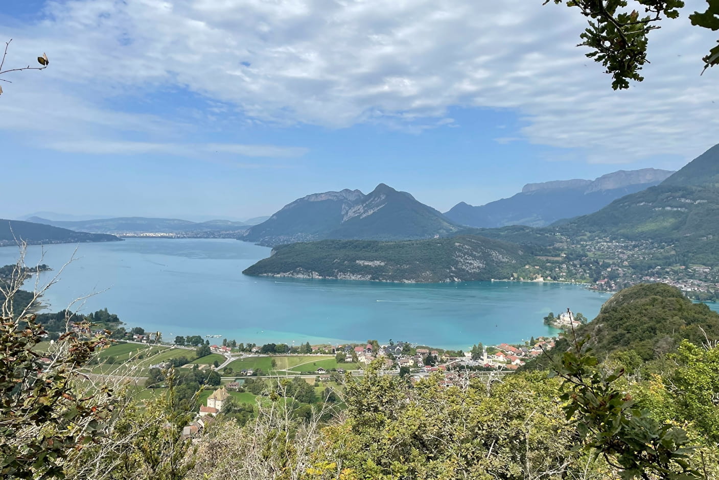
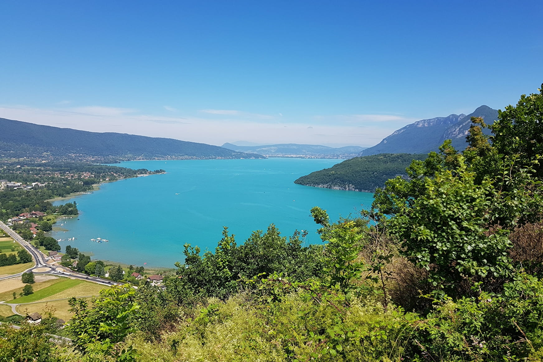
In the Middle Ages the peninsula on which the Château de Ruphy was built was actually an island. The view opens out to take in the whole of Lake Annecy, the second biggest natural lake in France, after Lake Bourget. One of the cleanest lakes in the world, Lake Annecy was formed around 18,000 years ago when the great Alpine glaciers melted. It is fed by several small rivers running off the surrounding mountains, and flows into the River Thiou and the Canal du Vassé, both of which flow through Annecy.The Château at Duingt marks the boundary between the “large lake” to the north and the “small lake” to the south. Type of itinerary : circuit. Maps : IGN Top 25 n° 3431 OT Lac d’Annecy.
- Sport
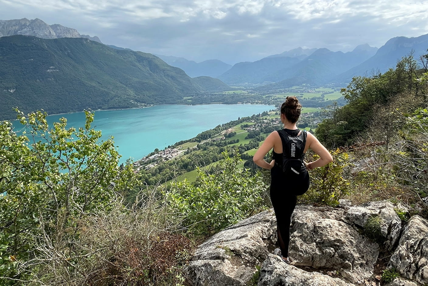
The Taillefer circuit
Savoie Mont Blanc's choice
This route starts along a way of the cross marked by colourful bas-reliefs depicting the life of Christ. Leave the route for a moment to visit the shrine and cave at Notre Dame du Lac, overlooking Duingt and the Château de Ruphy.
Sport The Taillefer circuit Duingt
About

Further informations
Stone, Ground
1 2


Prices
Free access.
Reception
Whatever your hike, remember to take cereal bars, sufficient water, sunglasses, sun cream, a small first aid kit, as well as clothes adapted to your outing according to the season and the weather forecast.
Period of practice
From 15/01 to 01/11.
Subject to favorable snow and weather conditions.
Services
- Pets welcome
- Parking nearby
Contacts
Access
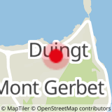
Annecy – Duingt 12 km. From Annecy follow the N508 through Sevrier and Saint Jorioz to Duingt. Park beside the church in Duingt.
- Not accessible in a wheelchair