What to see / What to know :
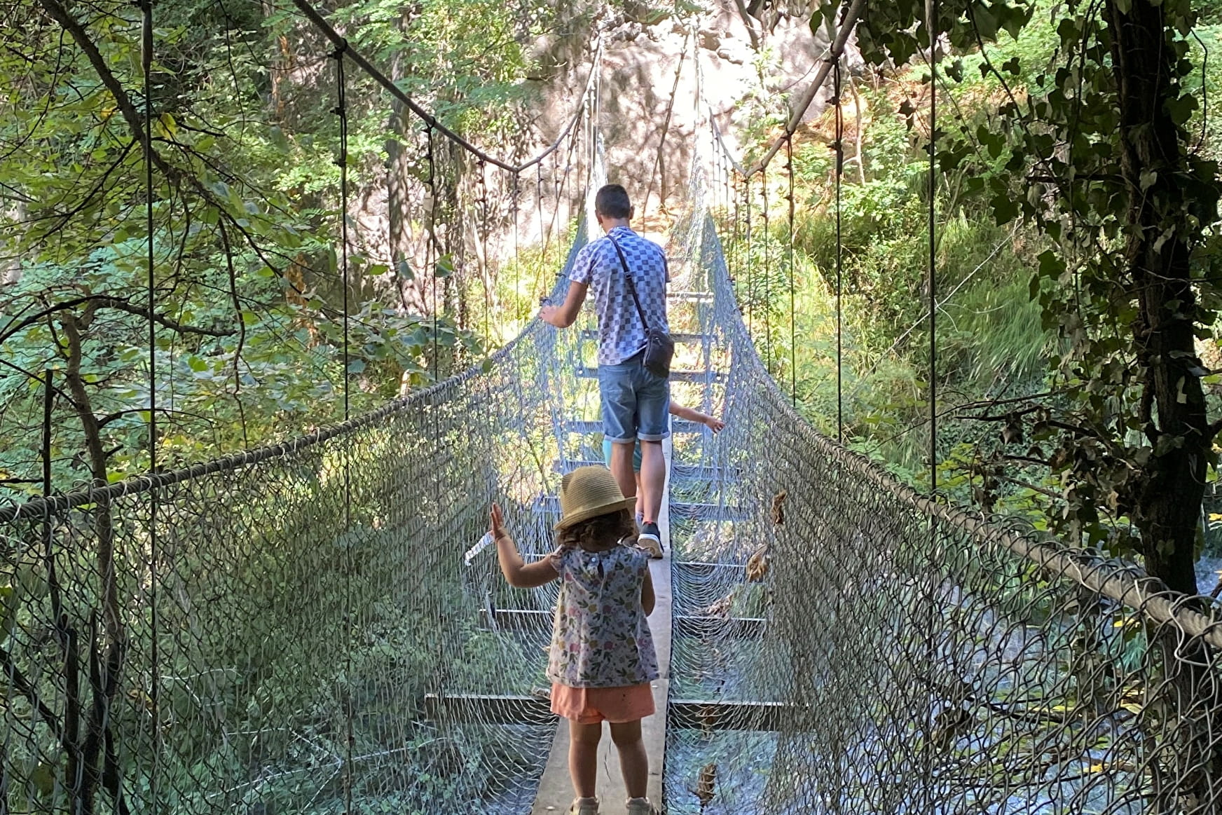
Link the villages of Pontamafrey and Montvernier by heading up the gorges de La Ravoire. Monkey bridges, footbridges and handrails await you in the gorges, before arriving on a large expanse of meadows in Montvernier with an unobstructed view, where you may be able to spot orange wild lilies (between May and July).
What could be better than shade and water to cool off?
A wild and peaceful atmosphere will carry you all the way to Montvernier, where the view will be all the more beautiful.
As you climb higher, the Aiguilles d'Arves may be just around the corner...
Once you've reached Montvernier, take it easy with a bite to eat at the "Ô p'tits lacets" restaurant.
And for those who want to extend the walk, the descent can be made via the mythical Montvernier lacets, taking you back to the starting point.
This completely safe trail is not necessarily recommended for those prone to vertigo.
- Sport
The Ravoire gorges
Follow the Ravoire gorges to reach the authentic Hameau de Montvernier. Between forests and waterfalls, you'll be amazed...
About

Signs
Follow trail S03
Topoguides references
Topo guide - Pays des Aiguilles d'Arves, walks and hikes Saint-Jean-de-Maurienne / La-Tour-en-Maurienne / Montvernier / Saint-Julien-Montdenis / Villargondran. 25 circuits for all levels. Produced by the SIVAV. 5 €.
Further informations
Rock, Stone, Ground, Hard coating (tar, cement, flooring)


Round trip trail
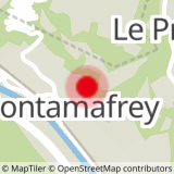
Departure : Car park Parking VF "Le Bastion" - At the via-ferrata parking lot, start the hike by taking the path on the left towards the bridge.
1/At the bridge, fork left to start the ascent to the La Ravoire gorges. You can also reach the village of Pontamafrey by descending into the meadow on the right (walk left along the edge of the meadow for a few metres).
3/At the end of the path, at the signpost, take the path which continues to the right. This takes you up a narrower path, with a few hairpin bends before you reach the gorges (note: crossing the gorges requires you to cross a monkey bridge, and the path runs along the edge of a cliff for a few metres).
cliff for a few metres. Safe path with handrails).
4/At the end of the forest, you reach a plateau with large meadows.
Turn right to reach the village of
Montvernier (please walk carefully along the edge of these agricultural plots, skirting the forest).
5/At the crossroads, continue straight on, skirting the forest for a few metres, then take the path that branches off to the left.
6/Turn left onto the D77 road to reach the village of Montvernier.
7/In the bend in the road, at the fountain, follow the D77 to the right, then turn left towards the restaurant and town hall.
8/Arrived at the O P'tits Lacets restaurant parking lot, you have the option of extending the walk a little further towards Saint-Côme church, or continuing towards the various villages of Montvernier (via path B04). For the return to the parking lot or the descent to Pontamafrey, take the same path as before.
Prices
Free access.
Reception
Period of practice
All year round.
- Pets welcome
- Car park
- Free car park
Contacts
Access
Departure point: Car park of the Pontamafrey Via Ferrata or parking lot of the O P'tits Lacets restaurant in Montvernier if you want to do the route the other way round.
- Not accessible in a wheelchair


