- Sport
The Pont de Téloncin loop
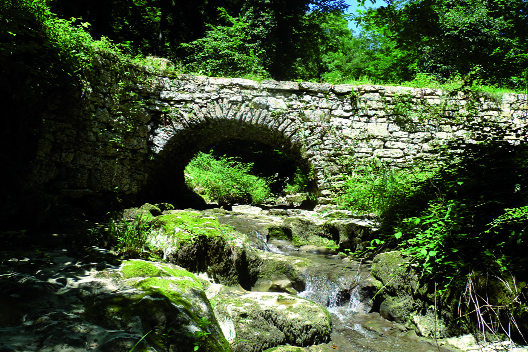
This loop going up the small valley dug by the Thiers river leads you to the nice stone bridge of Téloncin. Most of the path is in a fresh atmosphere during summer.
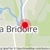
Sport The Pont de Téloncin loop La Bridoire
About

Difficult passages
Be careful when hiking since the path crosses private properties. Please respect fences and keep your dogs on a lead.
Topoguides references
A map collecting hiking treks in Val guiers (10 rambles) and a folder composed of 38 treks in l'Avant Pays Savoyard are available in tourist offices for 2 euros and 14.50 euros.
Further informations
Ground
1 2


Prices
Free of charge.
Reception
Period of practice
All year round.
Services
- Pets welcome

