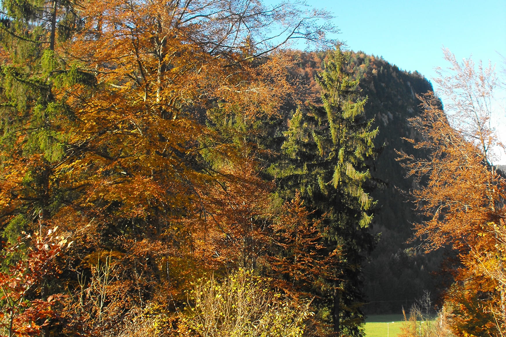
This moderate hike invites you to discover the mountain pastures on the southern slopes of Mont de Grange.
Lac des Plagnes and the Cubourré site are part of the Chablais Unesco Geopark. From glaciers to bulging peat bogs, the trail around the lake takes you through landscapes that have evolved over the past 20,000 years.
You'll then cross the Montagne de Lens, where the word "Montagne" refers to the mountain pastures where pastoral activities are practiced. You can take advantage of the "chèvre" (a wooden fountain carved out of a tree trunk) to refresh yourself.
You will then reach the chalets de Lenlevay, the highest point (1733 m), with an exceptional panorama of the Swiss peaks and the Chablais, via a short section of the GR5. The path crosses alpine meadows and rhododendron heaths, the natural habitat of capercaillies.
The descent takes you past traditional mountain chalets and small chapels and oratories.
Time to climb: 2h20
Descent time: 2h
Shorter variant: 2h45 (return to the lake from the Lens chalets)
- Sport
The Plagnes loop
A beautiful panoramic walking trail on the moutain alpine of Abondance with a view on the Switzerland and Chablais peaks, and a discovery of the mountain chalets.
About

Signs
Departmental markings called P.D.I.P.R. on beige metal panel and green writing.
Difficult passages
Late snow between the Tindérêts refuge and the Chalets de Lens.
Map references
Map of the Portes du Soleil hiking trails in France and Switzerland TOP 25 N°3528 ET Morzine Massif du Chablais Les Portes du Soleil
Topoguides references
On sale in the tourist offices of the Abondance valley.
Further informations
Stone, Ground


1/ Reach the edge of the lake and follow the signs for "Chalets de Lens". Join Cubourré. 2/ Follow the trail up the combe d'Ardens. 3/ Then take the trail up to the "refuge des Tindérêts". 4/ Take the path above the refuge through a copse of green alders. 5/ After crossing the large schist corridor, join the "Aup Couti". This last passage can be tricky for those with no previous experience in the mountains. 6/ Take the trail to the left to reach the "alpage de Lens". After 200 m, you'll come to the "Montagne de Lens". 7/ Continue down the path to the "Chalets de Lens". At the crossroads, you can shorten the circuit by returning to the Plagnes parking lot in 45 minutes (alternative). 8/ Head towards "Lenlevay". After a long but easy climb, you reach Les Covagnes, on the GR5. 9/ Turn left towards Lenlevay, just before the chalets, take the "Chalets du Jouly Haut puis Bas" trail on the left. 10/ Continue along this path as far as the "Les Trables" oratory, then take the left-hand trail down through the grass, which joins an old path through the forest. 11/ Turn left towards "Tetagottay", then right down to the edge of the meadow. Lac des Plagnes can be seen at the bottom of the valley, and you're almost there.
Prices
Free access.
Reception
Hiking shoes recommended.
Dogs must be kept on a leash because of the presence of herds.
Period of practice
From 01/05 to 30/11.
Accessible except during snow and depending on weather conditions.
Please check with the Tourist Office for the latest information on access conditions. This route is usually suitable for strong walkers during spring, summer, and autumn, except in adverse weather.
- Pets welcome
- Picnic area
- Car park
- Parking nearby
- Free car park
Contacts
Access
Parking at the Lac des Plagnes, located 10 minutes by car from the centre of the village of Abondance, take the direction of Lac des Plagnes.


