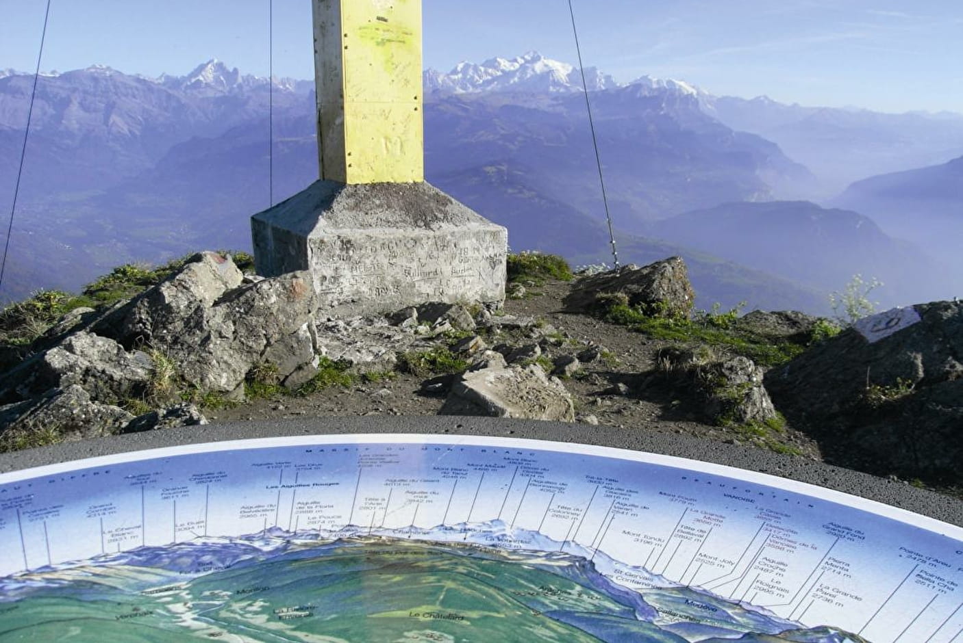
Along this loop, there are numerous viewpoints over the Chablais mountains, Mont-Blanc, the peaks of the Haut-Giffre and the Aravis mountains. As soon as you begin this trail, there’s a breath-taking view over the peaks of the Haut Giffre from a small bench in Le Planey. At the summit of the Pic de Marcelly, there’s a panoramic map on an orientation table!
- Sport
The Pic de Marcelly via Le Planey
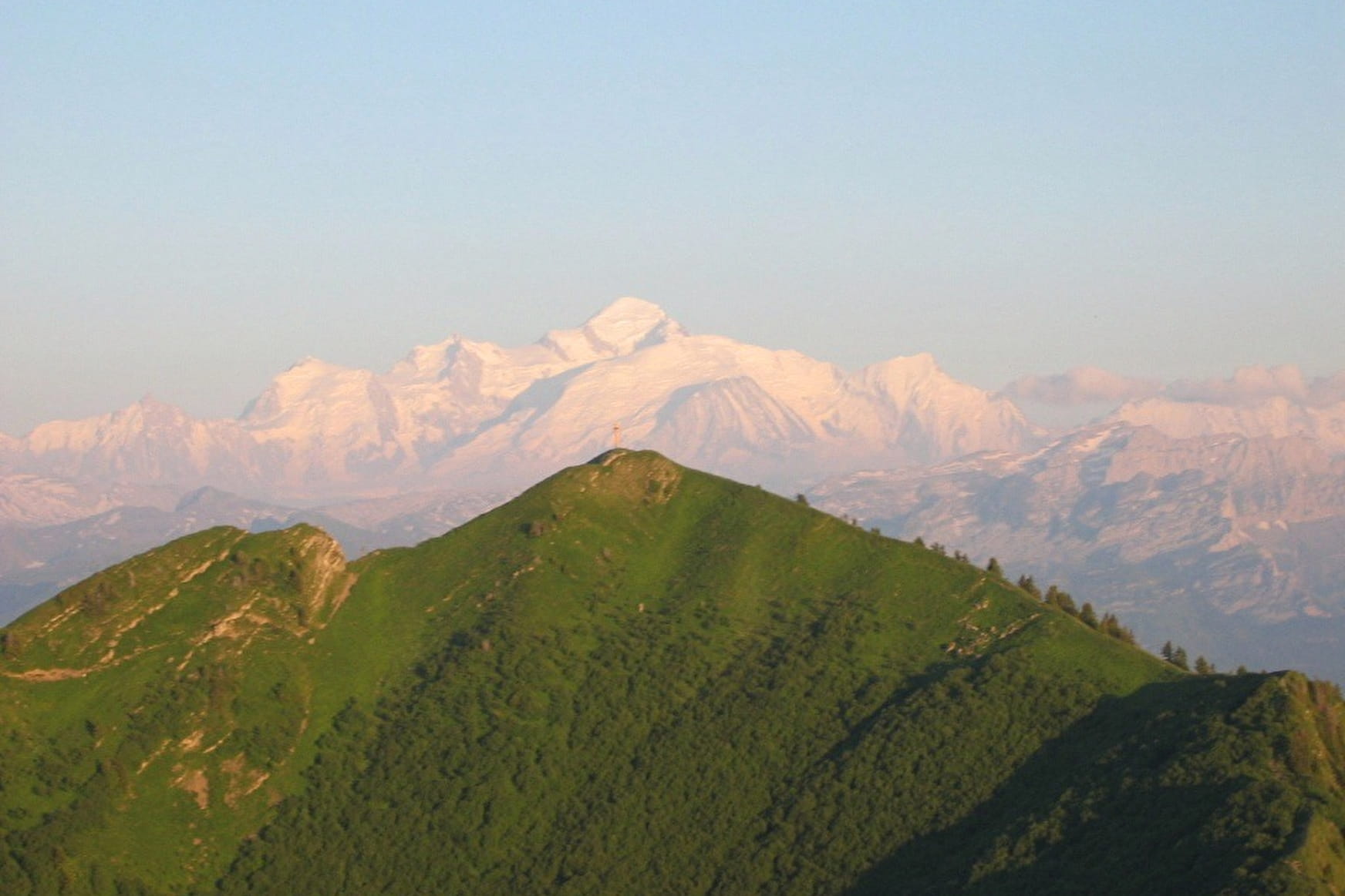
Mid-mountain trail with some remarkable views overlooking the surrounding valleys and mountains, Mont-Blanc, Jura, Bornes-Aravis...
Sport The Pic de Marcelly via Le Planey Taninges
About

Further informations
Stone, Ground
1 5


Possibility to do the loop of Lake of Roy when you return back.
From the car park, follow a path that departs from the upstream side of the road, and leads to the Pic de Marcelly. Quick uphill walk into the pastures, to the bend where you’ll find Planey ski lift. Here, there is a track to the left for a detour via Le Planey (viewpoint). Then carry on to the ski lift arrival station, and go along the rocky path into the forest. This is an uphill section but it not particularly difficult. When you leave the forest, the narrow footpath quickly leads to the northern side of the Pic de Marcelly summit. Come back via Gron pastures.
Prices
Free access.
Reception
Period of practice
From 15/06 to 15/11.
Subject to favorable snow and weather conditions.
Services
- Pets welcome
- Car park