MONTVALEZAN’S FORESTS
You may wonder how the locals survive through the cold winter months in Montvalezan. The answer is that many people here use log burners to provide their heating, either for the whole house or for that extra bit of warmth. There are 321 hectares of forest land in Montvalezan, which is equivalent to 12% of the commune’s surface area. The largest forest sits above Le Mousselard and is managed by the French National Forests Office (ONF). It contains two main species of tree: spruce trees, which grow in the shaded areas, and Scots pine trees which thrive in the warmer, sunlit areas. The forest goes up to an altitude of 2,000m, where it thins out into high altitude meadows. Wood from the communal forests is shared out between Montvalezan’s inhabitants following woodcutting traditions. Each person wishing to cut down a tree for their personal use must first go to the Town Hall to put their name down for a kind of lottery. This lottery is drawn once a year, and the people involved win the right to take 3m3 of wood from the communal forest. It is then up to each person to organise how he cuts his wood and transports it back home. In return he must help with forest maintenance. One day a year, the people who have taken wood from the communal forest come together to carry out various different jobs in the forest. “Affouage” (allowing locals to take wood from the communal forests) is a way of guaranteeing that mountain forests are maintained properly and preserved for future generations. As a result of this maintenance scheme, the forest has been awarded the PEFC (Programme for the Endorsement of Forest Certification schemes) certificate for sustainable forest management.
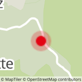
ITINERARY
From the water trough in the hamlet of Le Mousselard, walk up the lane and cross the road which runs from Montvalezan to Ste Foy Tarentaise. Go straight across the crossroads and head towards Les Moulins village on the other side of the river. Cross the bridge and go up the path which winds up the field in front of you. When you reach the former school in Le Châtelard, turn right towards Le Vaz. Once you have crossed the river and gone into Le Vaz take the second track on your right, towards La Roche and Le Bec Rouge, into the forest. Around 300m after the hairpin bend in the path, take the pathway down to your right. After a steep descent, you will reach a road. Follow the road up for around 100m and you will reach Le Mousselard. Walk through the village and you will return to your starting point.
- Sport
THE LUMBERJACKS’ TRAIL
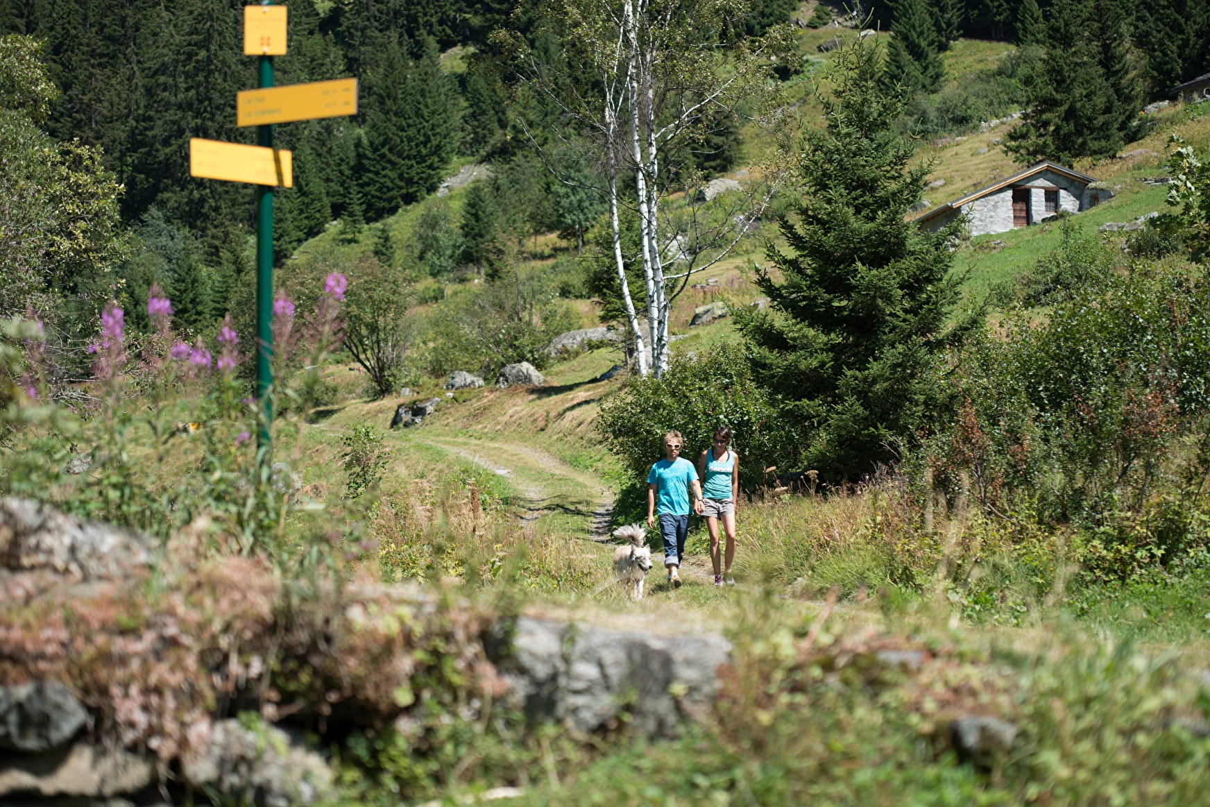
A steep hike up through the forest for some breathtaking views.
Start: Le Mousselard.
Easy.
Sport THE LUMBERJACKS’ TRAIL La Rosière - Montvalezan
About

1 2


Prices
Free of charge
Reception
Period of practice
From 07/01 to 10/31 : open daily.
Services
- Pets welcome

