DEPARTURE: Flumet / Saint-Nicolas la Chapelle Tourist Office OR Church of Saint-Nicolas La Chapelle - parking.
ROUTE: from the Tourist Office, go down to the PLAN D'EAU and then go towards LE PONT DE CHAUCISSE. From there, start the climb of Chaucisse through LES RECOURBES and CHOZALETS. In CHAUCISSE, continue to the right on the communal road by LES ROZETS and ROUTE DES MONTAGNES. Turn left towards NANT DE CHAUCISSE, the PRAZ DES SIERRES, pass under the TREU and join LES AVENIÈRES. Borrow briefly on the right the trail to BOIS DES AVENIÈRES and go down the path to the left LE TREZ, THE CRETS, THE PLAN, MARCINELLE, LES COMBES and SAINT NICOLAS CHAPEL (church). From the village, follow the municipal road on the left and join LE PRAZ, LA LANDELIÈRE and LE PONT DE CHAUCISSE. Back to the Tourist Office by the PLAN D’EAU.
POINTS OF INTEREST:
- The church of Chaucisse
- View of the Val d'Arly
- Sport
The Loop of villages
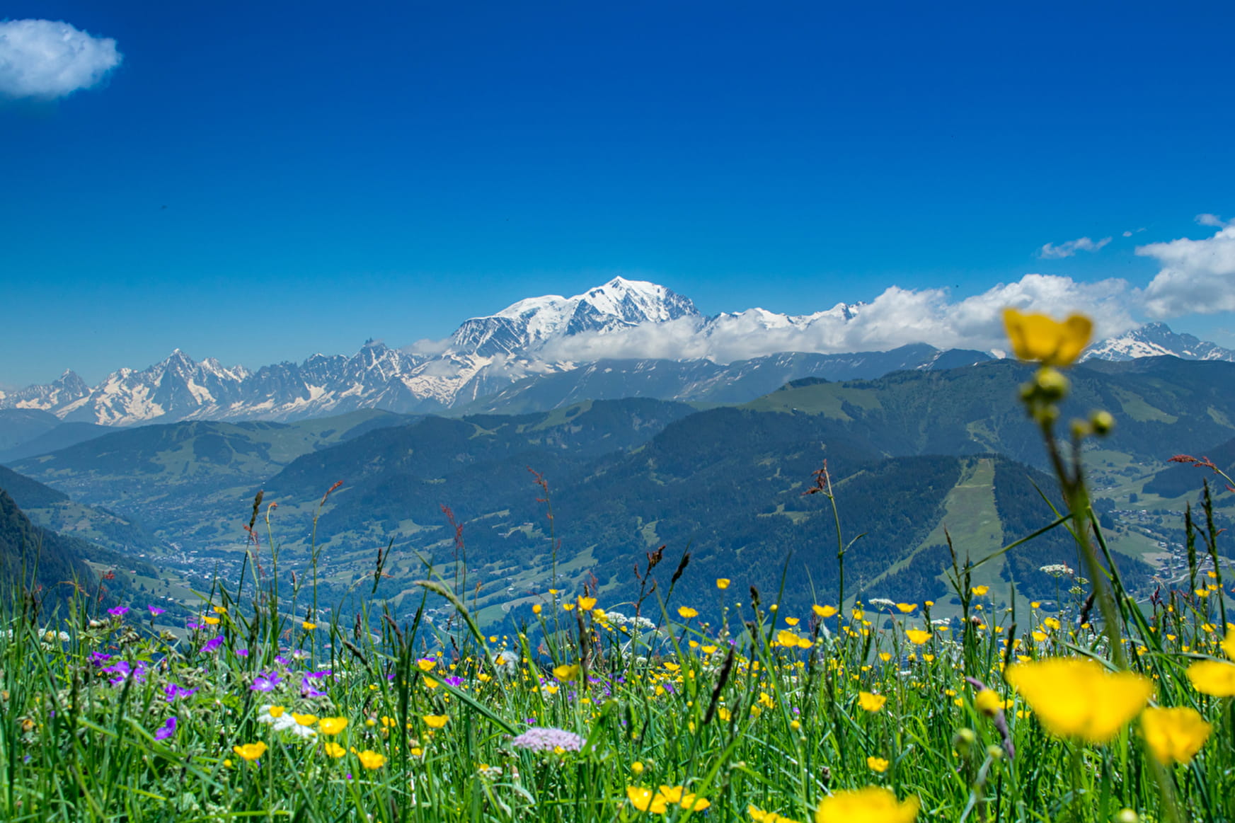
All facets of the Val d'Arly in one small hike: traditional hamlets, farms, pastures, forests and Mont-Blanc!

Sport The Loop of villages Saint-Nicolas-la-Chapelle
About

Signs
Marked with yellow signs.
Topoguides references
Walking and hiking map of the Val d'Arly for sale at 9 € or Topo Walks and Short hikes on sale at € 4 in the tourist offices.
Prices
Walking and hiking map of the Val d'Arly for sale at 9 € or Topo Walks and Short hikes on sale at € 4 in the tourist offices.
Methods of payment accepted : Check, Cash, Bank/credit card
Reception
Dogs must be kept on a leash due to the presence of herds.
Period of practice
From 01/06 to 30/09.
Services
- Pets welcome
Contacts
Access
Departure possible from the Flumet Tourist Office or from the center of the village of Saint Nicolas la Chapelle.