- Sport
The hills of Domessin
This walk across the hills of Domessin takes small roads and dountry paths. The landscape is very open, with traditional hamlets of adobe houses dotted along the way. The path also passes close to the river Thiers where you can cool off.
Sport The hills of Domessin Domessin
About

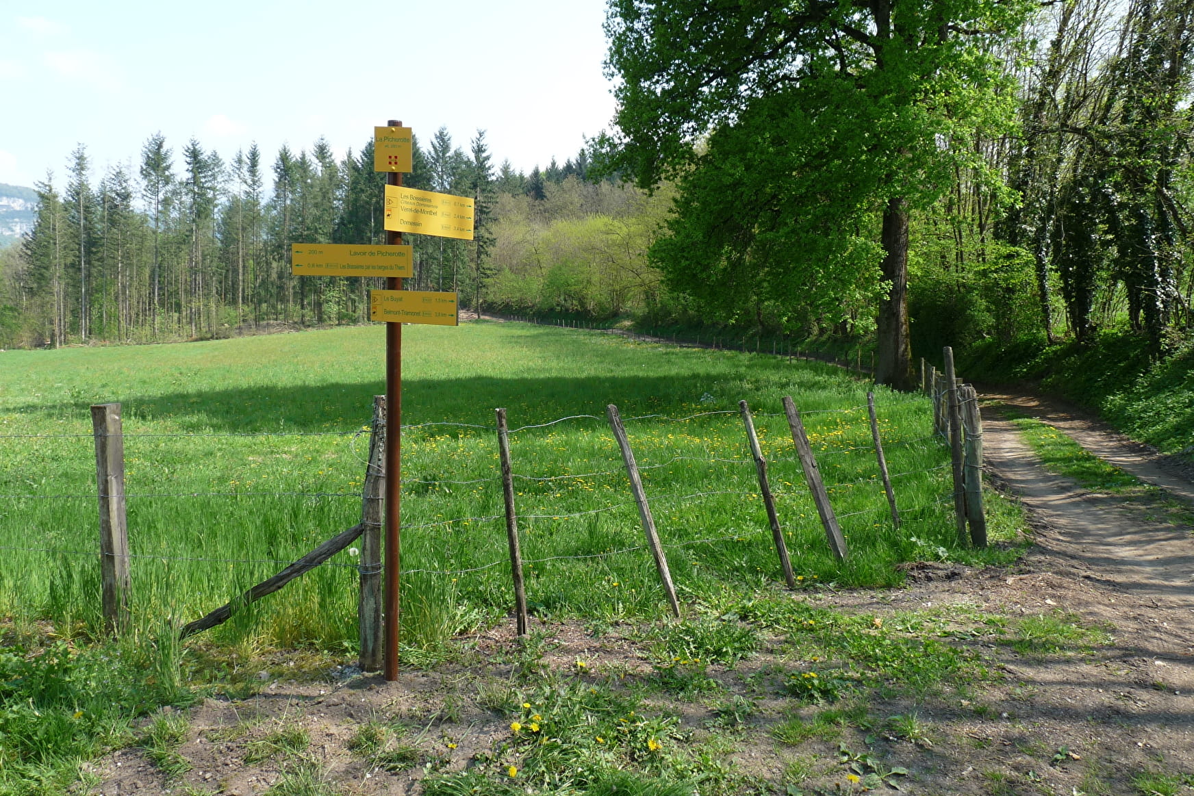
Signs
Follow the yellow markers.
Topoguides references
You can find a binder of hiking tracks in "Pays d'Aiguebelette" (37 tracks for 14.50 euros). Available in the tourist Offices of St Genix sur Guiers and Nances.
1 1

You can make the walk longer by doing a loop towards the hamlets of "La Visite" and "Gubin".
Reception
Period of practice
All year round.
Services
- Pets welcome
Contacts
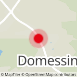
Access
The walk leaves from the centre of Domessin village, opposite to the school.
