- Sport
The Fournette Source
Forest and a spring


About

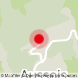
Map references
Map and booklet "Walks and Hikes Haute Maurienne Vanoise" (sold for €4 at the Tourist Office)
Further informations
Rock, Stone, Ground
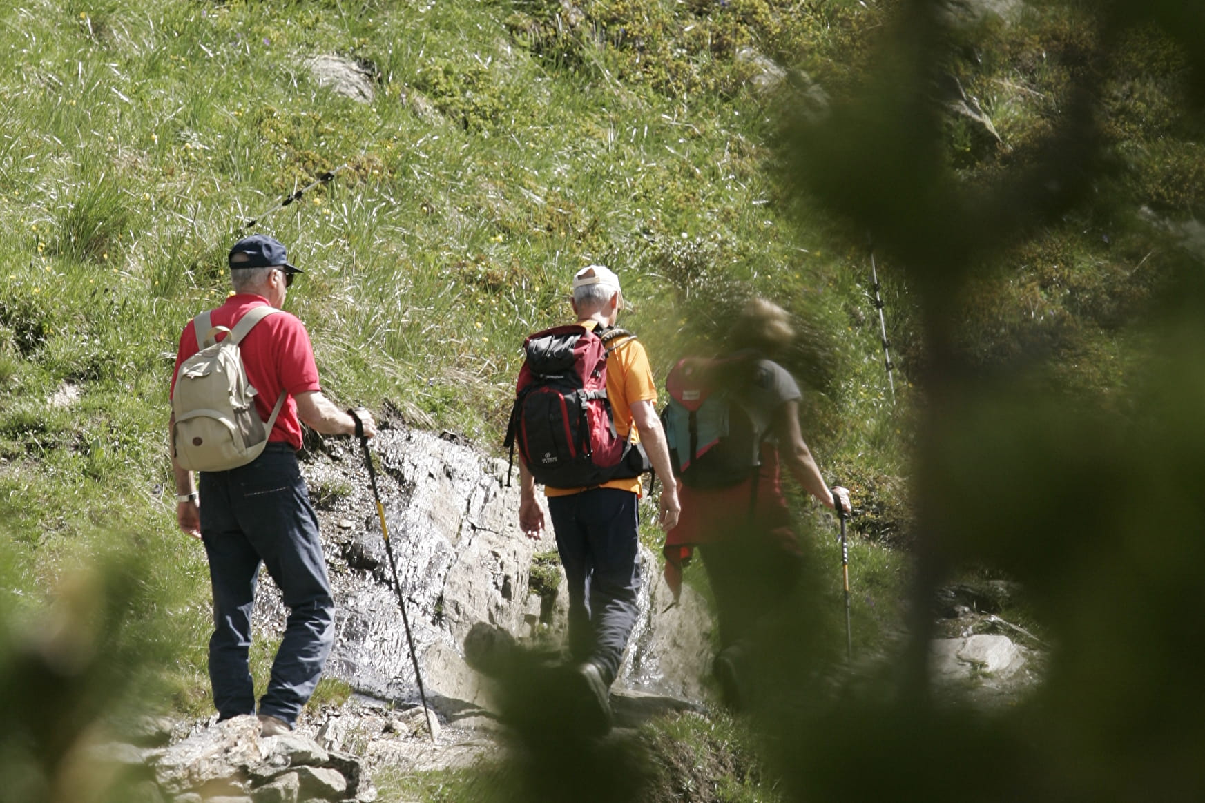
From the Maison d'Aussois, walk along the road (Route des Barrages) for 300 metres. After the first bend, turn right to follow the path towards Les Balmes. The path rises through the forest and rejoins the Route des Barrages. Next, head towards Les Balmes on an earth track until you reach the Fournette spring just below the road. This itinerary follows a road which was built in the 1890s for military purposes, to establish a defensive position and protect the valley from the threat of Italian invasion. You may choose to return via the St Pierre gorge path.
Prices
Free access.
Reception
Period of practice
From 01/06 to 15/10.
Subject to favorable snow and weather conditions.
Contacts
Access
Park in the car park just above the Maison d'Aussois. Possibility to take line s52 (Modane-Aussois-Lanslebourg) in summer and get off at the Maison d'Aussois stop.