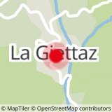
DEPARTURE: The village of Giettaz in Aravis with the church of Saint Pierre aux Liens and the museum of the past that tells the life of the Giettois.
ROUTE: From the Tourist Office, go up along the Route des Grandes Alpes, then turn right towards LA CHAPELLE DES NANTS. At PONT NOIR, cross the road and climb towards LES PUGINIÈRES, PÉTAZ and BOIS DU FOUESTARLE. Turn right on the Chalets road (alpine trail) until you reach LA CROIX DE PTIOUTA. From there, get off at right on LA STAPESSE and come back to PETAZ balcony. Return to La Giettaz by the same route as the go.
POINT OF INTEREST :
- Beautiful point of view on the Mont-Blanc massif.
- Sport
The Cross of Ptiouta
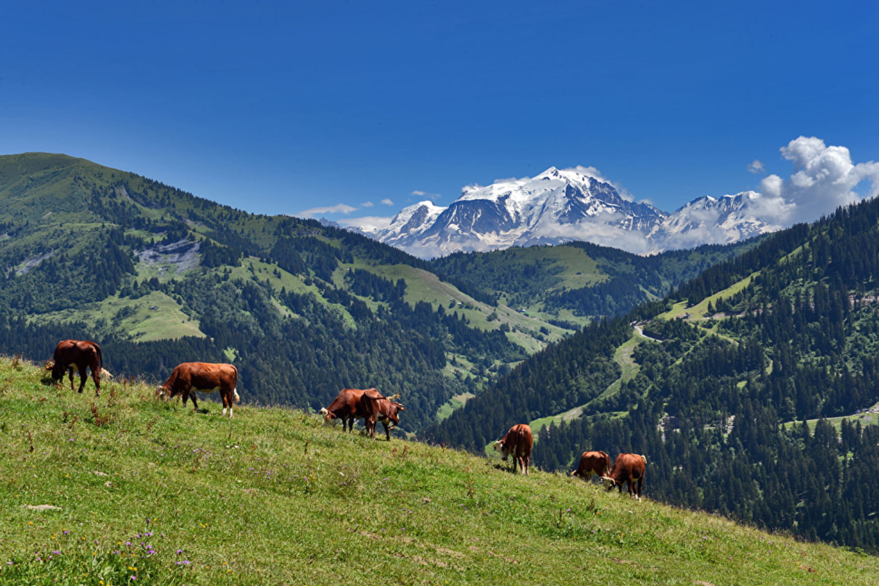
Short hike in the pastures, near the village of La Giettaz.
Sport The Cross of Ptiouta La Giettaz
About

Signs
Marked with yellow signs.
Map references
Walking and hiking map of the Val d'Arly for sale at 9 € or Topo Walks and Short hikes on sale at € 4 in the Tourist Offices.
Topoguides references
Walking and hiking map of the Val d'Arly for sale at 9 € or Topo Walks and Short hikes on sale at € 4 in the tourist offices.
Prices
Walking and hiking map of the Val d'Arly for sale at 9 € or Topo Walks and Short hikes on sale at € 4 in the tourist offices
Methods of payment accepted : Check, Cash, Bank/credit card
Reception
Dogs must be on a leash.
Period of practice
From 01/06 to 30/09.
Services
- Pets welcome