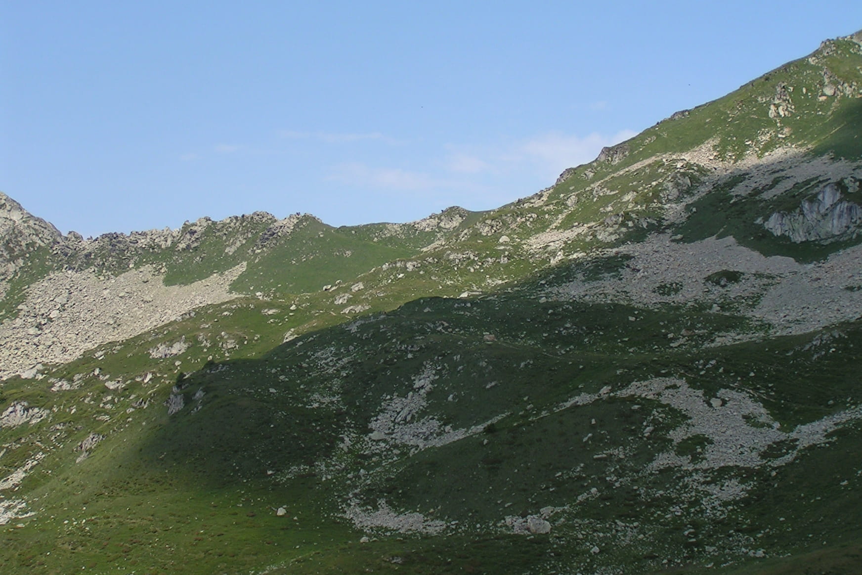
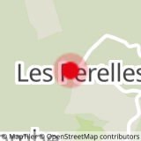
Starting point at the «Pérelles», take the path on the left of the technical center building. Pass by the water treatment plant and take the path going up in front of you. At the first intersection, take on the left in the direction of the «Mère de l’eau». The track continue on the right. At the place called «Mère de l’eau», the track goes up on the right to the top of the «Crête Maxet». Take on the right, heading to the «Lauzière chairlift.
- Sport
The Crête Maxet tour (9)
[Saint François Longchamp area]
Red level itinerary (medium), around 3:30 long, and with a negative and positive elevation of 470 meters. Track recommended for sporty people having a good experiencet of hiking.
Sport The Crête Maxet tour (9) Saint François Longchamp
About

Topoguides references
Hiking guide, summer 2016, edited by the Tourist Office of Saint-François Longchamp.
Prices
Free of charge.
Reception
Dogs allowed. They must be kept on leash.
Period of practice
From 01/07 to 31/08.
Services
- Pets welcome