Start: From above the skating rink, take Chemin des Longues then turn left onto Chemin de la Tannuaz. At the end of the road, go up towards La Griaz as far as Chemin des Fleurs. Walk on to Chemin du Platon then go down Route des Granges a few metres before turning right on to Chemin Théobalde Couttet. Cross over the footbridge then take the path to the hamlet of Le Pont and follow the signs for Chemin des Villages/Taconnaz. The full trail is about 2 km long.
From Taconnaz, you can join another trail for a longer walk to Les Bossons and towards Les Gaillands, then the edge of Chamonix.
- Sport
The Chemin des Villages walk
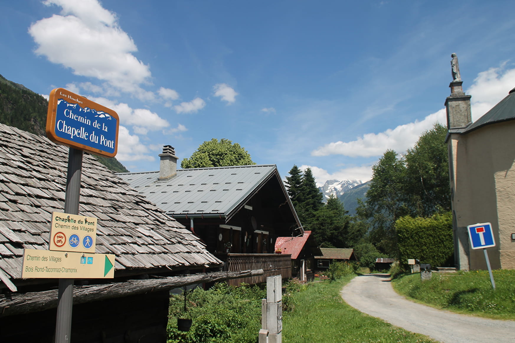
This trail for walkers and cyclists covers almost 2 km and includes a footbridge across the Bourgeat torrent. It links Taconnaz and Route des Granges and takes you to the centre of the village without using the expressway.
Sport The Chemin des Villages walk Les Houches
About

Further informations
Stone, Ground
Follow the Chemin Vert in Les Houches to join Chamonix via the north side. You can then come back by following the sentier de l'Arve on the south side of the valley.
Prices
Free of charge.
Reception
Period of practice
From 10/04 to 31/10.
Subject to snow conditions.
Services
- Pets welcome
Contacts
Access
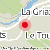
Closest bus stop : La Griaz/Le Tourchet
Closest train stop : Les Houches train station
Closest parking : Tourchet / Ice-Rink / Olca car-parks