- Sport
The Boedets path
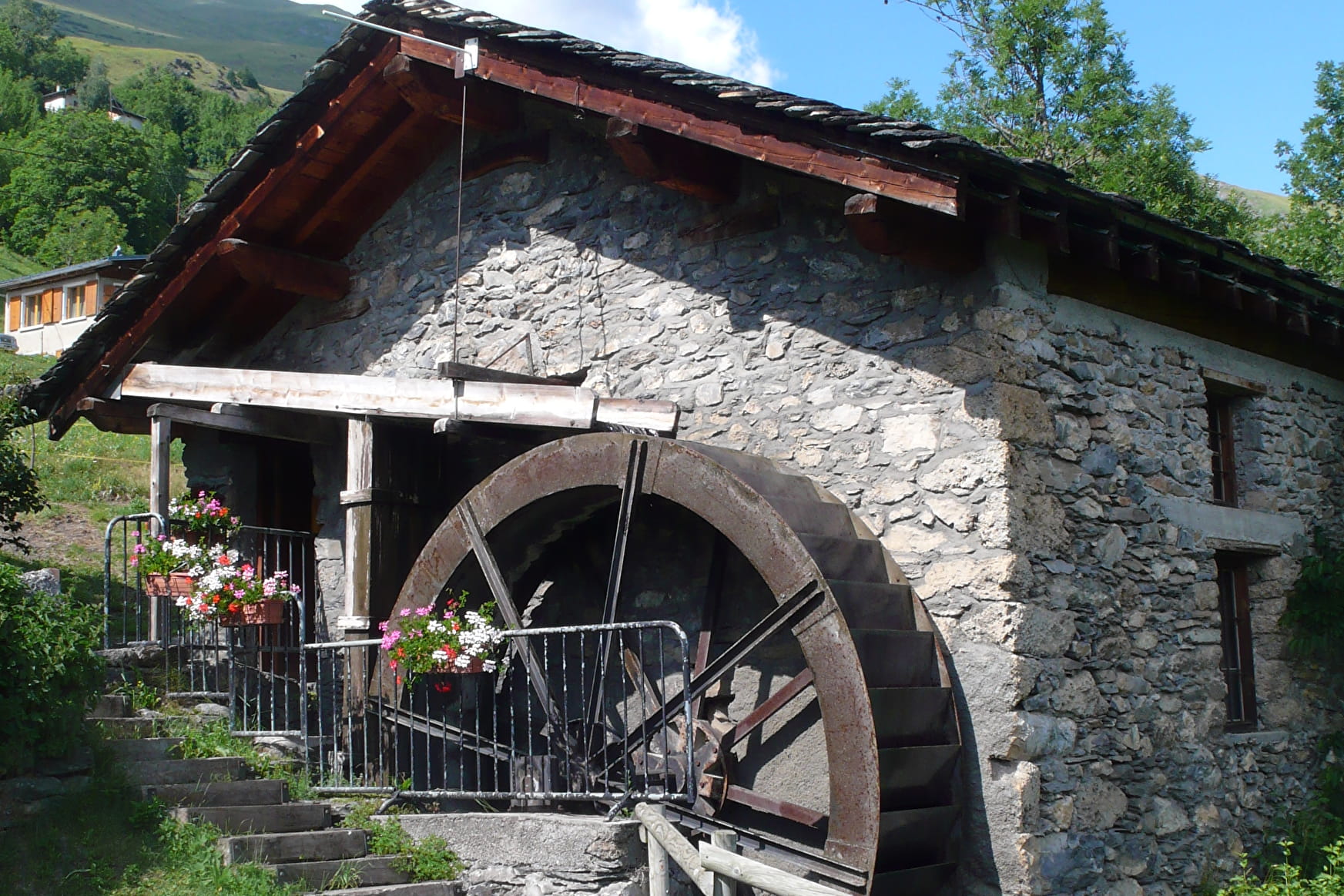
Family hiking trail (1h30 to 2h) from the hamlet of Saint-Germain. You can discover the hamlet of Saint-Germain and its mill, the Mont plan with a panoramic view of the valley. Detailed information available at the tourist office.

About

Departure: hamlet of St-Germain (village car park).
How to get to St-Germain:
- On foot: by the Countess Cécile loop 1h15 from the Pont du Reclus
- By car: from Séez, follow the direction of the Col du Petit St-Bernard, 2km from Villard-Dessus take the road on your left before the Auberge du Val Joli in the direction of St-Germain.
From the parking lot in the hamlet of St-Germain, go up the street next to the chapel.
At Plan du Mont, follow the direction of Mont d'en Haut.
At Mont d'en Haut, take the path that descends to reach Mont-Villaret.
At Mont-Villaret, for a return to St-Germain take the direction of Champ Plan by the path. For a return via the variant of the Comtesse Cécile loop, follow the direction of Cottier by the road on the right.
At Cotiier, cross the hamlet and follow the direction of Séez, this path allows you to reach the Pont du Mont and the Comtesse Cécile loop for a return to Séez (about 1 hour)
Reception
- Pets welcome
- Picnic area
- Car park
Contacts
Access
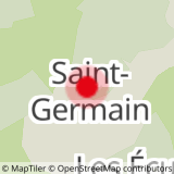
Parking in the center of Saint Germain