- Sport
Sur les pas de Béatrice de Savoie
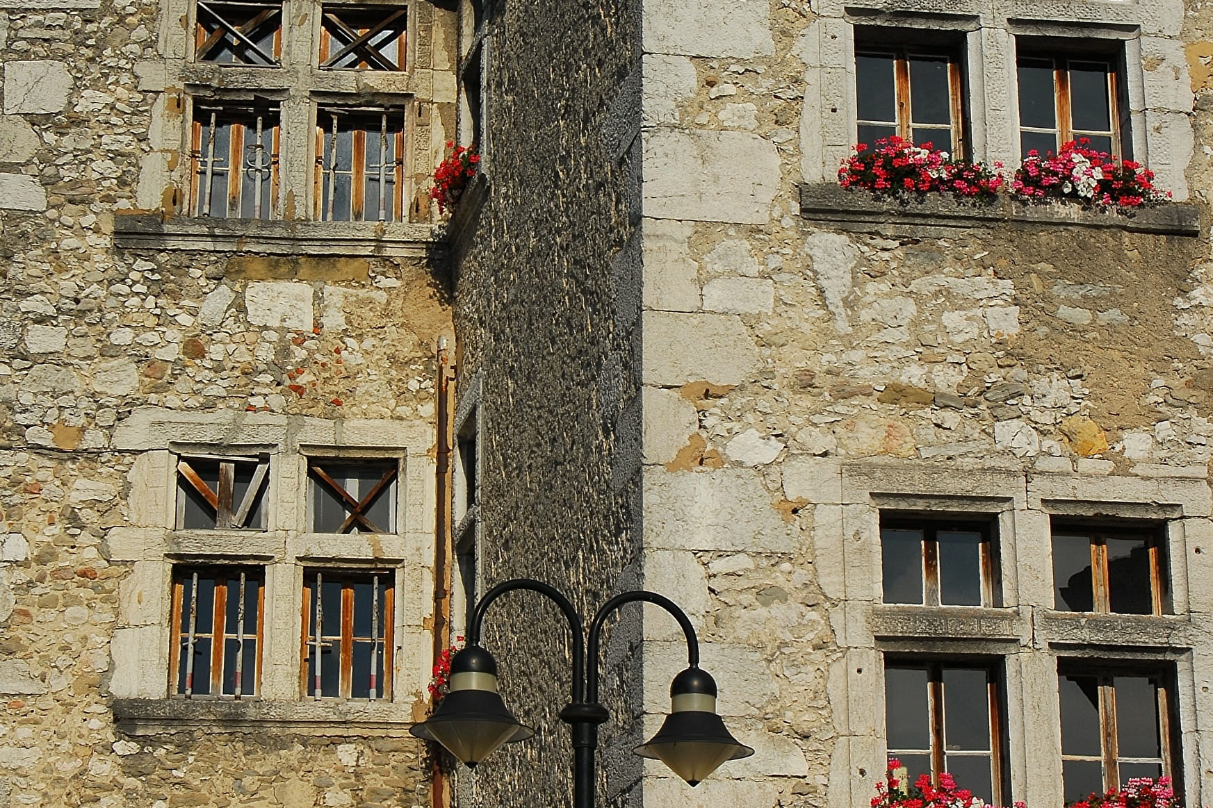
This route guides you on the lands of Béatrice de Savoy. The rich past of les Echelles is offer to you from the commandery to the panoramic site of La Chapelle de la Madeleine.
Sport Sur les pas de Béatrice de Savoie Les Échelles
About

Signs
Departure Signs are in place in the villages near the car parks and the places open to the public. To follow your itinerary, poles are in place at the junctions and identifiable by a sign with the name of the walk and the altitude. Between two poles, you will find marked sign made with painting all along the way, it indicates if you must follow the path or not. Pay also attention to small signs to guide you. We recommend to have the map Promenades et randonnées en Chartreuse" with you
Prices
Free of charge.
Reception
Period of practice
From 01/05 to 30/11.
Subject to favorable weather.
Services
- Pets welcome