• Sport

Sulens Summit

Savoie Mont Blanc's choice

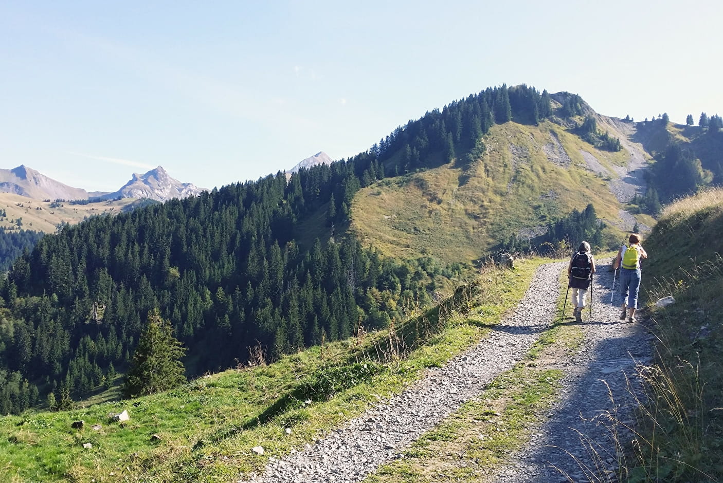
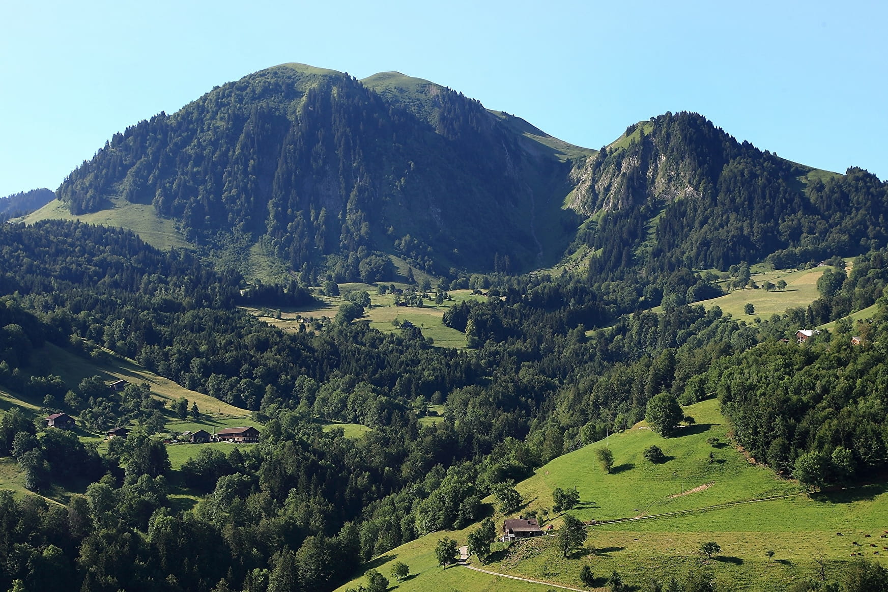
This long hike without any major difficulties is an excellent opportunity to buy a reblochon made in the alpine meadows. Located between Mont Charvin and the Tournette, mount Sulens offers a magnificent panorama over both massifs.

Sport Sulens Summit Les Clefs

About

Departing from Les Clefs (74230)
Average length : 02h55
Total elevation gain : 520m
Vertical drop : 520m
Distance : 12km
Signed walking trail
Animals allowed

Way and back
Total elevation gain : 520m
Altitude max : 1839m
Vertical drop : 520m
    1 2

    Prices

    Free access.

    Reception

    Animals allowed
    Not adapted to strollers

    Period of practice

    From 15/05 to 15/10.

    Subject to favorable snow and weather conditions.

    Services
    • Pets welcome

    Access

    Parking de l'Auberge de Plan Bois, Route de Plan Bois, 74230 Les Clefs 74230 Les Clefs
    Departing from : Les Clefs (74230)
    Latitude : 45.839697 - Longitude : 6.358195
    Information update on 23/04/2024 by Conseil Départemental de la Haute-Savoie
    Randonnée PDIPR (Plan Départemental des Itinéraires de Promenades et de Randonnées)