With this orienteering map, find the markers in the village, the fields and the slopes around Macot.
Use the key and the symbols on the map to orient yourself and find your position as well as the route you need to follow to find the markers in the given order.
The starting point is shown by a triangle and each marker by a circle with its number. In the centre of each circle there is a characteristic feature of the terrain (intersection, fence corner, tree, etc.) where you will find the marker. On each marker, a code number allows you to check your location and to read the corresponding explanations.
Open your eyes and find the 7 markers!
- Cultural
Sporty orienteering course around Macot - orange course
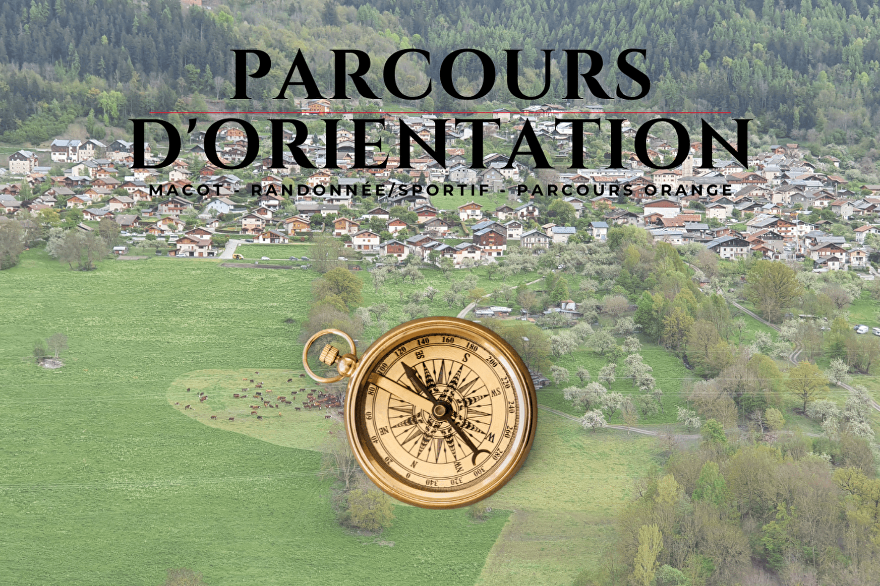
Welcome to the sporty orienteering course around Macot la Plagne!
A moderate course of 4.6km and 390 elevation gain with 7 markers.
About
Prices
Free access.
Reception
RECOMMENDATIONS:
- Be discreet, people live and work here on a daily basis.
- Stay on the trails, do not take shortcuts across the fields.
- Respect parking areas, private property and the local regulations.
- Pick up your litter and dog mess. Do not leave anything on the ground, litter bins are at your disposal.
It is your own responsibility to assess your ability to practice orienteering in this area.
Period of practice
All year round.
Services
- Pets welcome
Contacts
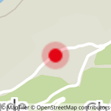
Access
