- Sport
SENTIER HIVER "Le Rond Point"
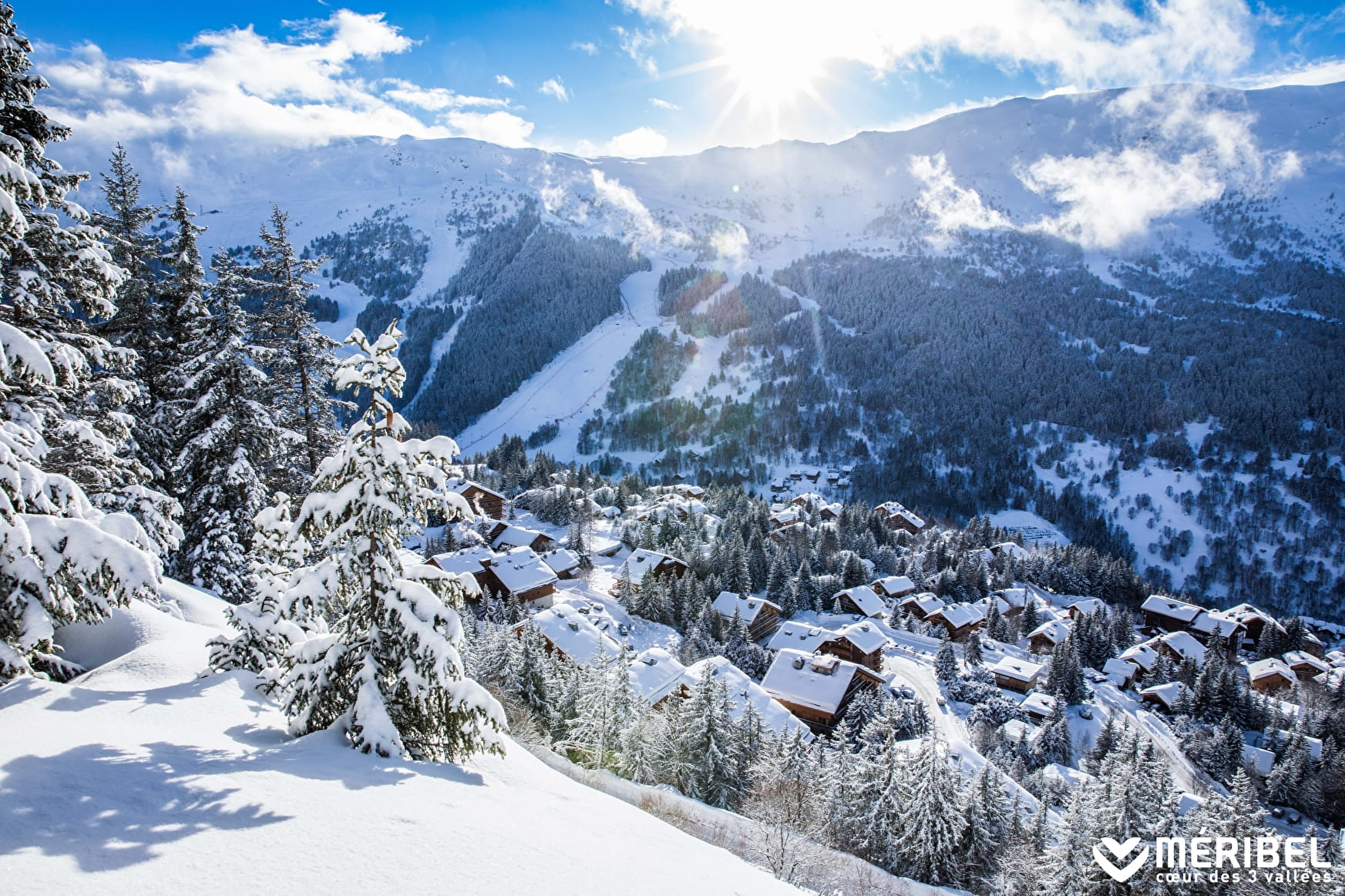
Start from Le Blanchot bus stop. 35 min to reach Rond point des pistes. Don't miss the breath-taking view over the Meribel resort and Olympic ski run halfway along the path to the Rond Point.
To reach Méribel centre continue to walk down on Route des Chalets and Route de la Renarde (30 to 45 min more)

About

Signs
Marked trail with yellow signs and snowman State of maintenance and the opening/closing of footpaths and snowshoes is updated daily on www.meribel.net
Difficult passages
Trails could be slippery, depending on condition. Ask at the tourist office or take crampons and poles
Map references
Méribel winter footpath map
Further informations
Groomed trail


Prices
Free access.
Reception
Toilets, changing table and picnic room at the Blanchot cross-country ski center
Marked trail with yellow signs and snowman
State of maintenance and the opening/closing of footpaths and snowshoes is updated daily on www.meribel.net
Please keep your dog in leash to not disturb the wildlife.
Period of practice
From 02/12 to 21/04.
Subject to favorable snow and weather conditions.
- Pets welcome
- Car park
- Free car park
- Public WC
Contacts
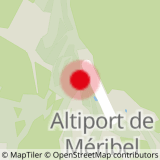
Access
Start from Le Blanchot bus stop
In order to help you : take the "Méribel resort map" starting points are indicated more precisely by orange arrows as well as the winter footpath map

