Set off at a calm, lordly pace to serenely start your ascent. Rack up the twists and turns as you breathe in the fresh, woodland air. From time to time, give yourself the luxury of a sensory break. You're overlooking the gorges of the Saint-Antoine torrent. Can you hear its rolling and tumbling? Starting at an impressive altitude of nearly 3,000 metres in the beautiful Belle Plinier area, this trail bears remarkable witness to centuries of erosion. How the water rushes down when the snow melts, tumbling straight into the Arc River, 2,000 metres lower down! After so much exercise, you might be tempted to take a break at the ONF chalet. The edge of the forest is just a few steps away. From the Carrelet chairlift, enjoy a view of the valley basking in the sun.
- Sport
Sentier du Périmètre
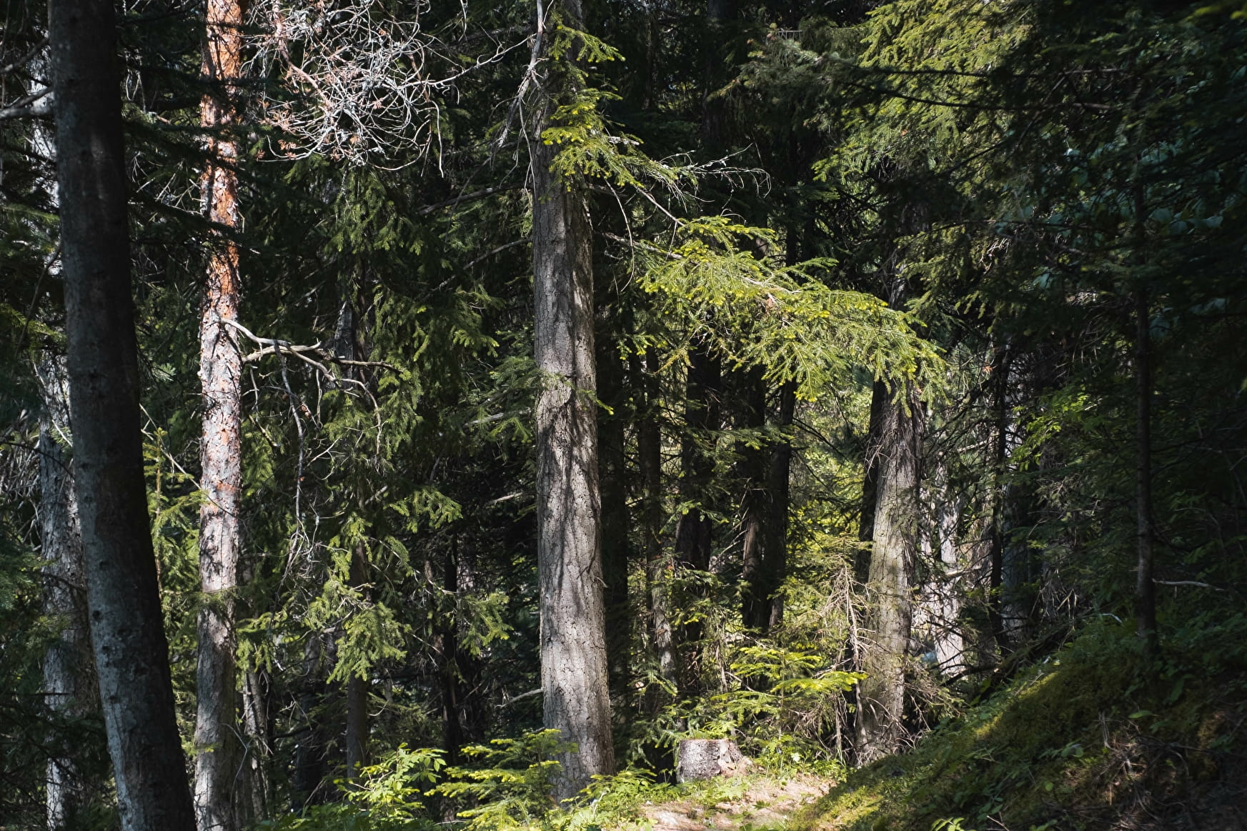
With its 27 consecutive switchbacks, it's hard to find a trail that's more playful both uphill and downhill. Away from the chairlifts, immerse yourself in the tranquility of the spruce forest that lends so much charm to La Norma.
Sport Sentier du Périmètre La Norma
About
Map references
Map and booklet "Walks and Hikes Haute Maurienne Vanoise" (sold for € 10 at the Tourist Office)
Topoguides references
Orange route n°58
Further informations
Ground
To guide you in the field, consult the "step-by-step" directional diagram provided in pdf.
Prices
Free of charge
Reception
Period of practice
From 15/05 to 15/10.
Subject to favorable snow and weather conditions.
Services
- Pets welcome
- Parking nearby
- Picnic area
- Barbecue
Contacts
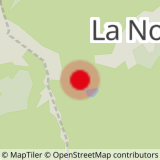
Access
By bus: Line 2 - Rond Point de la Norma stop.
By car: park in the La Norma leisure center parking lot.