- Sport
Sentier découverte et botanique du Bois de la Laye
About


1/ Departure: From Lavachet (2100m), the path descends gently into the alpine lawn
2/ Stroll along the path and discover the first 2 thematic orientation tables (impact of Man on the landscape, hamlet of Les Combes)
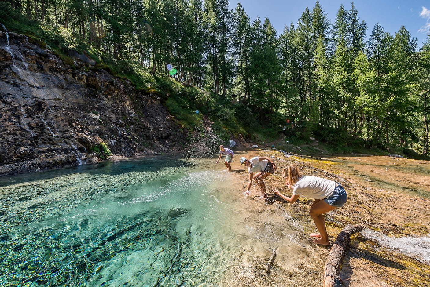
3/ Make a detour to table n°3 (Gouille du Salin: a resurgence of icy water from the Grande Motte glacier) then retrace your steps for a hundred meters
4/ Turn left at the crossroads and continue on your way to the next crossroads. There, follow the signage of the discovery trail to discover the next 5 thematic tables (flora, fauna, history, etc.)
5/ Continue on your way to a place called: the sheep cemetery. Turn right at the crossroads.
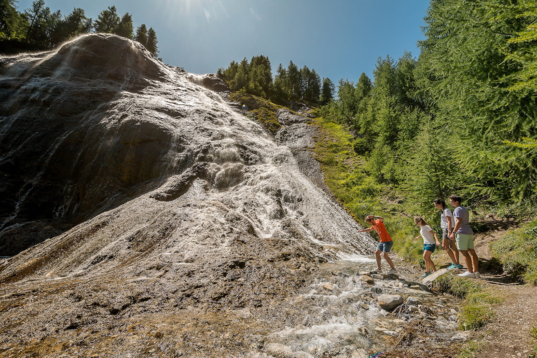
6/ From table n°5, the path rises gently and rises under the cover of the trees to table n°8
7/ Return by the Bois de la Laye (or by the orientation table of the Croix de Combe Folle, return by the GR5)
Prices
Free of charge.
Reception
Period of practice
From 01/06 to 31/10.
- Pets welcome
- Picnic area
- Public WC
- Orientation board
Contacts
Access