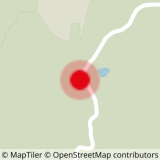
To activate geolocation, click on the map icon.
- Sport
Roche Olvéra
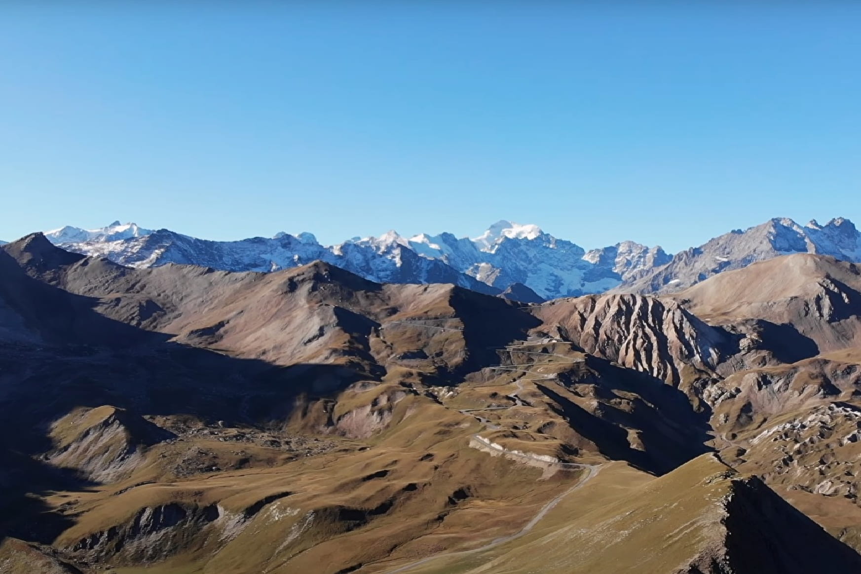
This hike allows you to observe excellent belvedere summits and to discover the mountain pastures.
Sport Roche Olvéra Valloire
About

Map references
CARTE IGN 3435ET VALLOIRE - Aiguilles d'Arves / Col du Galibier
Further informations
Rock, Stone, Ground
- Find out about weather conditions before you leave.
- This hike takes place in summer when there is no more snow.
- Inform someone of your itinerary, as communication may be limited.
- It's best to leave in the morning, so as not to be surprised by the dark, and let someone know if you're going alone.
- The routes you take are your own responsibility.
- Choose an itinerary suited to your physical and technical ability. If in doubt, don't hesitate to contact mountain professionals.
- Make sure you're properly equipped to hike safely and cope with the vagaries of the weather. There are a few things you can do to make your experience safer and more enjoyable. Walking poles improve balance in the event of icy crampons, and regular hydration is essential.
Carry a water bottle and snacks to keep your energy up. Protect yourself from the sun with sunscreen and sunglasses. Don't forget binoculars to add a touch of observation to your adventure.
Departure point: les granges du Galibier. 1- cross the road once to join the path leading to the summit. 2- cross the road again to continue your ascent. 3-arrive at the summit ^enjoy the majestic view and turn around.
Prices
Free access.
Reception
Period of practice
From 01/06 to 31/10.