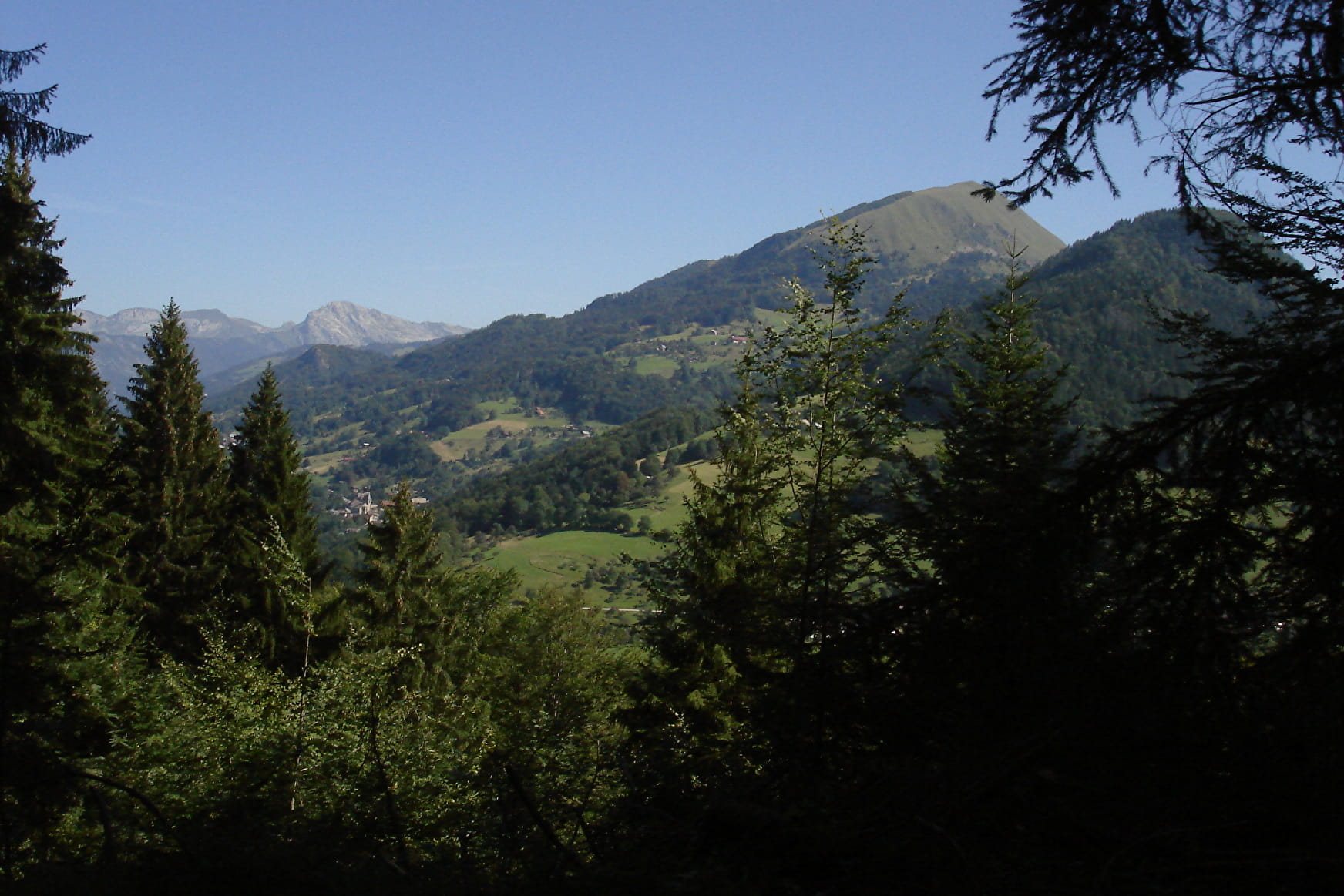
The name nicely captures the forest charm of this riverside walk, which provides numerous views of the southern part of the Bornes/Aravis mountains and of Mont Blanc. Take the time to visit this charming little hamlet and the chapel of Notre Dame de Grâce. From the car park, head right and go down the wide track to the hamlet of Nanbellet. Type of itinerary : circuit. Maps: IGN Top 25 n° 3431 OT Lac d’Annecy.
- Sport
Roc de Nantbellet hike
Savoie Mont Blanc's choice
The hamlet of Nanbellet lies in the district of Saint-Ferréol. Its name is a combination of the words Nant, which means stream, and the family name Bellet, which is a diminutive of beau or beautiful.
Sport Roc de Nantbellet hike Saint-Ferréol
About

1 4


Prices
Free access.
Reception
Period of practice
From 15/05 to 01/12.
Subject to favorable snow and weather conditions.
Services
- Pets welcome
- Free car park
- Car park
Contacts
Access
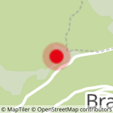
Annecy – Col de l’Epine: 37 km. From Annecy, follow the N508 towards Faverges/Ugine. Go through Sevrier, Saint Jorioz, Duingt and Doussard, and then follow signs to the Col de l'Epine. Just before the Col, turn left towards “La Côte de Marlens” and park beside the telephone pylon.
- Not accessible in a wheelchair


