• Sport

Refuge de la Bombardellaz

A pleasant walk between pastures and forests at the foot of the Aravis valleys.

Sport Refuge de la Bombardellaz La Clusaz

About

Departing from La Clusaz (74220)
Average length : 02h00
Total elevation gain : 200m
Animals not allowed

Duration: about 2 hours round trip.

Take the stone path at the end of Arpette parking.

Readily accessible for strollers.

Total elevation gain : 200m

Map references

Route map: TOURNETTE | BORNES | ARAVIS available at the tourist office for €5. IGN Top 25 Map 3430 ET La Clusaz - Le Grand Bornand available in station shops.

Prices

Methods of payment accepted : Check, Bank/credit card, Cash

Reception

Open to children
Animals not allowed
Languages spoken : English

Period of practice

From 05/15 to 10/15 : open daily.

Equipments
  • Picnic area

Access

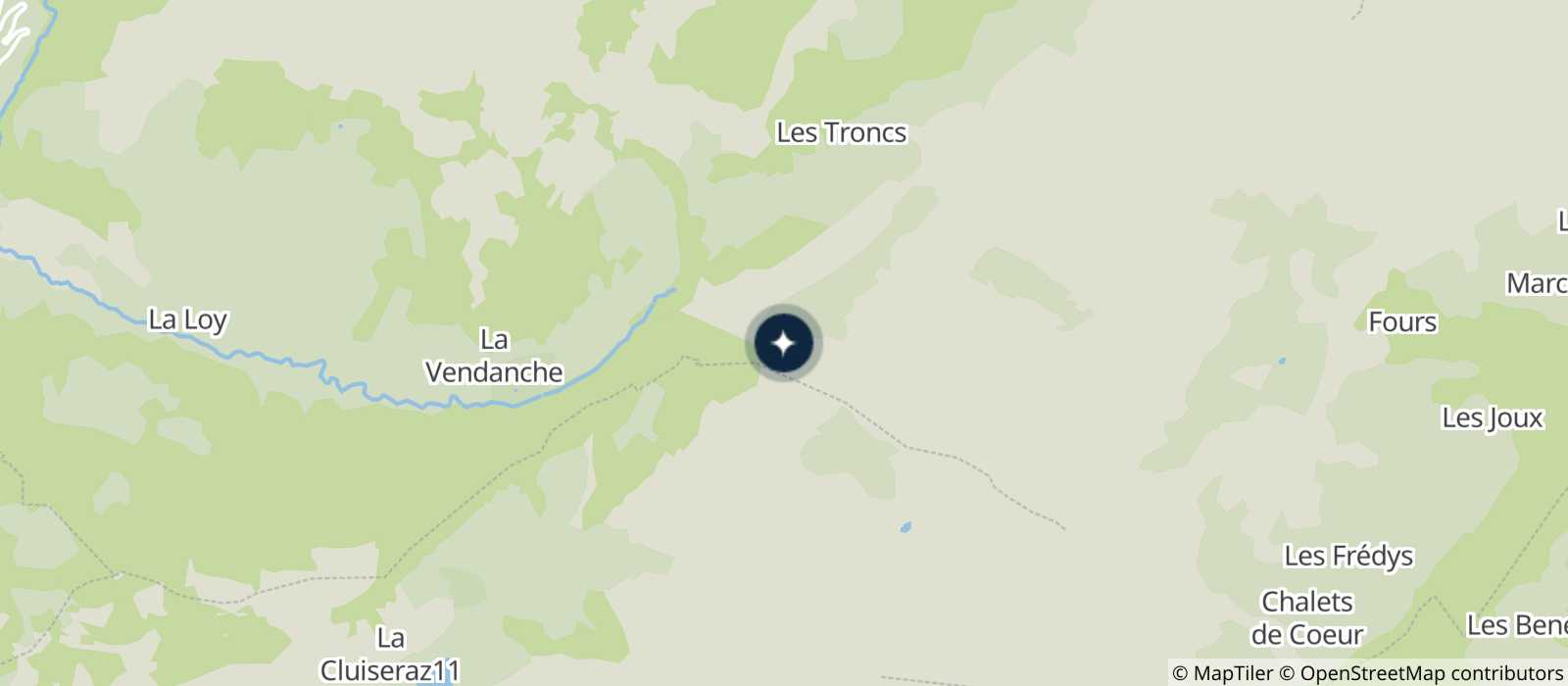
Les Confins 901 route de Lormay 74220 La Clusaz
Departing from : La Clusaz (74220)
Latitude : 45.93614 - Longitude : 6.506295
Information update on 06/11/2024 by Office de Tourisme de La Clusaz