• Sport

Randonnée "La boucle des Habères"

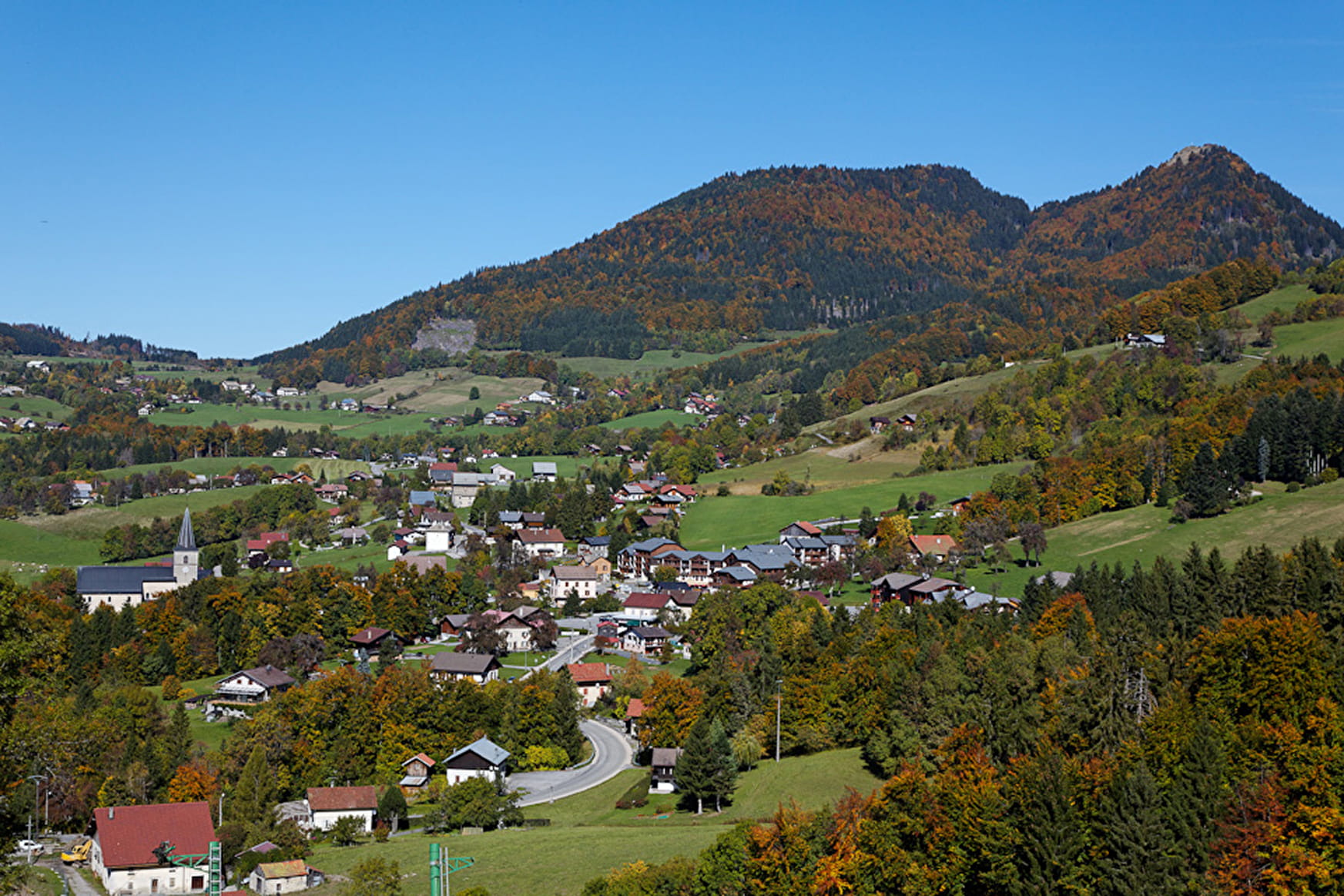
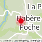
Sport Randonnée "La boucle des Habères" Habère-Poche

About

Departing from Habère-Poche (74420)
Average length : 02h00
Total elevation gain : 130m
Vertical drop : 130m
Distance : 5.8km
Signed walking trail
Animals allowed

Loop
Total elevation gain : 130m
Altitude max : 960m
Vertical drop : 130m

Further informations

Ground

    1 1

    Reception

    Animals allowed
    Languages spoken : French
    Not adapted to strollers

    Period of practice

    From 01/01 to 31/12.

    Subject to favorable weather.

    Services
    • Pets welcome
    • Restaurant
    Equipments
    • Sustainable development
    • Outhouse
    • Picnic area

    Access

    Place des Habères 74420 Habère-Poche
    Departing from : Habère-Poche (74420)
    Latitude : 46.248903 - Longitude : 6.470756
    Information update on 25/04/2024 by Office de Tourisme des Alpes du Léman